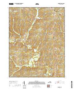
2019 Map of Pendleton
USGS Topo · Published 2019About this map
Mineral and Cuckoo anchor the landscape of Louisa County in this modern topography, where the headwaters of the South Anna River and the Little River carve through the Virginia Piedmont. The terrain is defined by a network of drainage systems including Beaver Cr and Indian Cr, interspersed with agricultural clearings such as Cub Field. In the northwestern portion of the sheet, the legacy of local families is reflected in the naming of Woolfolks Pond and Woodfolk Brothers Pond Number Two.
Find a feature on this map
59 named features on this map. Tap any name to fly to it.
Don’t see what you’re looking for? This feature index may not catch every label — zoom into the map to look around manually.
Map Details
Editions of this 2019 Pendleton Map
This is the sole edition of this map. No revisions or reprints were ever made.
Other maps of this area

1887 · Spottsylvania
USGS Topo · 1:125,000

1890 · Goochland
USGS Topo · 1:125,000

1891 · Palmyra
USGS Topo · 1:125,000

1892 · Spottsylvania
USGS Topo · 1:125,000

1892 · Goochland
USGS Topo · 1:125,000

1892 · Gordonsville
USGS Topo · 1:125,000

1895 · Palmyra
USGS Topo · 1:125,000

1897 · Palmyra
USGS Topo · 1:125,000

1942 · Mineral
USGS Topo · 1:31,680

1942 · Contrary Creek
USGS Topo · 1:31,680