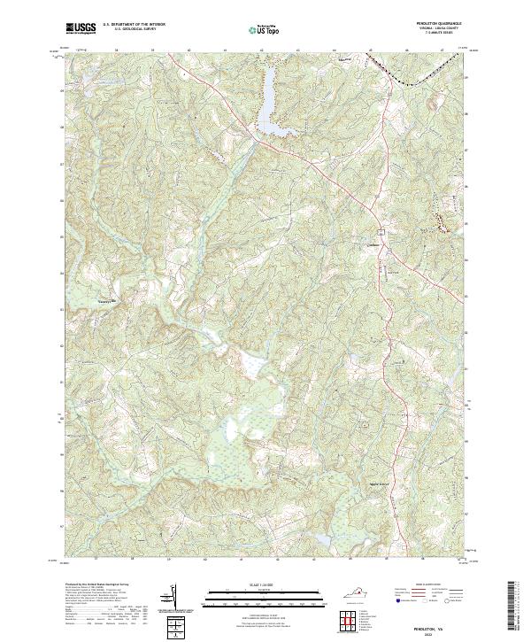
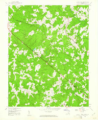
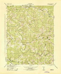
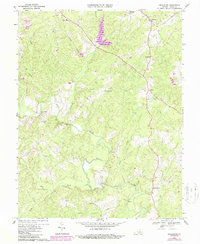
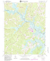
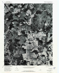
2022 Map of Pendleton
USGS Topo · Published 2022About this map
The South Anna River winds through this rural landscape in Louisa County, anchoring a terrain defined by many small tributaries such as Beaver Cr and Indian Cr. The map highlights several long-established crossroads communities including Cuckoo, Yanceyville, and Apple Grove, which serve as local hubs for the surrounding countryside. Transport corridors like Shannon Hill Rd and Cross Co Rd link these settlements, reflecting a traditional Virginia piedmont layout where roads follow the subtle ridges between watercourses.
Find a feature on this map
60 named features on this map. Tap any name to fly to it.
Don’t see what you’re looking for? This feature index may not catch every label — zoom into the map to look around manually.
Map Details
Editions of this 2022 Pendleton Map
This is the sole edition of this map. No revisions or reprints were ever made.
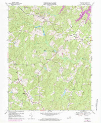
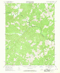
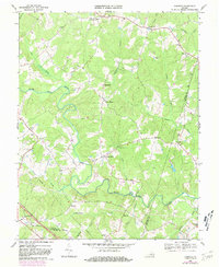
Historical Maps of Twin Oaks Community Through Time
25 maps found
1942 Buckner
Louisa County, VA
1942 Contrary Creek
Louisa County, VA
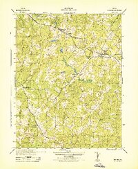
1942 Pendleton
Louisa County, VA
1943 Buckner
Louisa County, VA
1943 Dabneys
Louisa County, VA
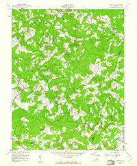
1943 Pendleton
Louisa County, VA
1943 South Anna
Louisa County, VA
1944 Dabneys
Louisa County, VA

1944 South Anna
Louisa County, VA
1968 Buckner
Louisa County, VA
1968 Contrary Creek
Louisa County, VA
1968 Dabneys
Louisa County, VA
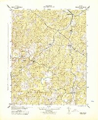
1968 Pendleton
Louisa County, VA
1968 South Anna
Louisa County, VA
1970 Boswells Tavern
Louisa County, VA
1970 Ferncliff
Louisa County, VA
1973 Lake Anna West
Louisa County, VA
1977 Boswells Tavern
Louisa County, VA
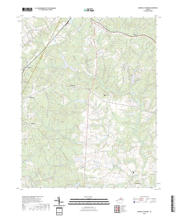
2022 Boswells Tavern
Louisa County, VA
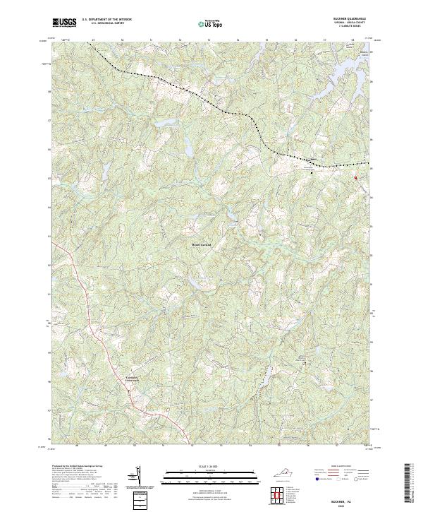
2022 Buckner
Louisa County, VA
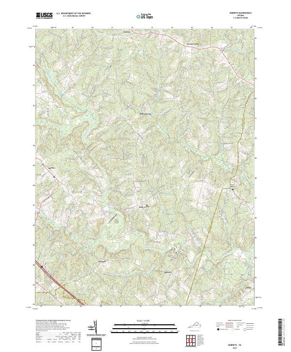
2022 Dabneys
Louisa County, VA
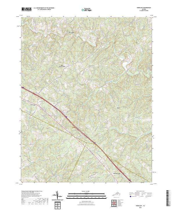
2022 Ferncliff
Louisa County, VA
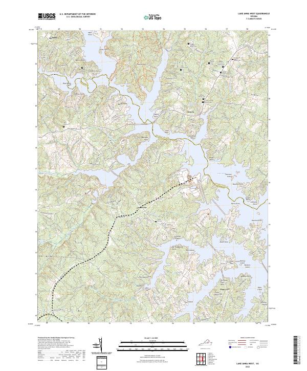
2022 Lake Anna West
Louisa County, VA
2022 Pendleton
Louisa County, VA
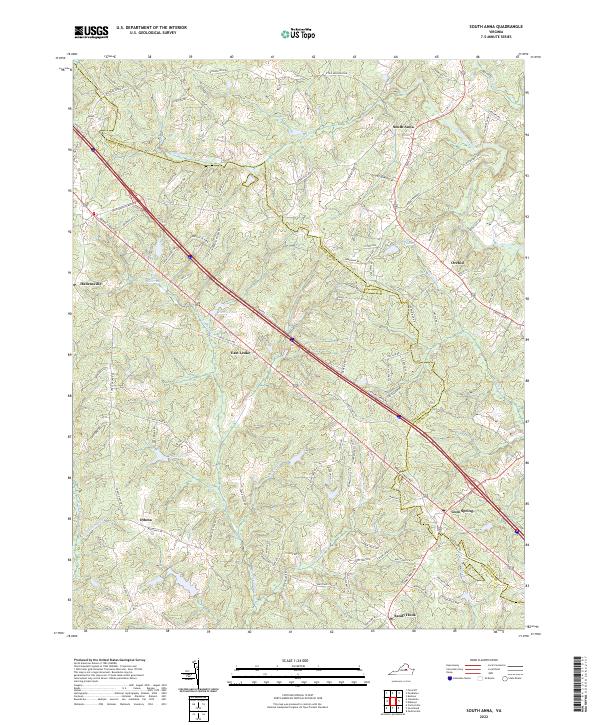
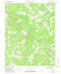
2022 South Anna
Louisa County, VA