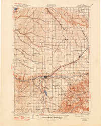
1935 Map of Pendleton
USGS Topo · Published 1948About this map
The Umatilla Indian Reservation dominates the eastern landscape of this early twentieth-century survey, centered on the regional hub of Pendleton. The map captures a moment when the Union Pacific and Oregon-Washington Railroad & Navigation Co rail lines converged to facilitate the area's agricultural and industrial growth. Institutional landmarks such as the State Hospital and County Hospital are documented alongside cultural sites like the Presbyterian Mission and Mission St Andrews.
Find a feature on this map
86 named features on this map. Tap any name to fly to it.
Don’t see what you’re looking for? This feature index may not catch every label — zoom into the map to look around manually.
Map Details
Editions of this 1935 Pendleton Map
3 editions found
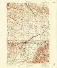
Other maps of this area

1908 · Umatilla
USGS Topo · 1:125,000

1915 · Wallulah
USGS Topo · 1:96,000

1917 · Pasco
USGS Topo · 1:125,000

1918 · Wallula
USGS Topo · 1:125,000

1919 · Walla Walla
USGS Topo · 1:125,000

1921 · Walla Walla
USGS Topo · 1:125,000

1935 · Pendleton
USGS Topo · 1:125,000

1953 · Pendleton
USGS Topo · 1:250,000

1953 · Walla Walla
USGS Topo · 1:250,000

1956 · Pendleton
USGS Topo · 1:250,000