
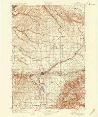
1935 Map of Pendleton
USGS Topo · Published 1935About this map
The city of Pendleton serves as the focal point of this 1930s survey, situated along the Umatilla River at the intersection of major rail lines and early state highways. The landscape transitions from the agricultural plateaus in the north, dotted with numerous rural schools like Elder Sch and School No 92, to the rising elevations of the Blue Mountains in the southeast. Significant institutional landmarks are present, including the State Hospital and County Hospital, reflecting the city's role as a regional hub.
Find a feature on this map
77 named features on this map. Tap any name to fly to it.
Don’t see what you’re looking for? This feature index may not catch every label — zoom into the map to look around manually.
Map Details
Editions of this 1935 Pendleton Map
3 editions found
Other maps of this area

1908 · Umatilla
USGS Topo · 1:125,000

1915 · Wallulah
USGS Topo · 1:96,000

1917 · Pasco
USGS Topo · 1:125,000

1918 · Wallula
USGS Topo · 1:125,000

1919 · Walla Walla
USGS Topo · 1:125,000

1921 · Walla Walla
USGS Topo · 1:125,000

1953 · Pendleton
USGS Topo · 1:250,000

1953 · Walla Walla
USGS Topo · 1:250,000

1956 · Pendleton
USGS Topo · 1:250,000

1958 · Walla Walla
USGS Topo · 1:250,000