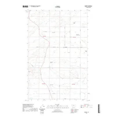
2020 Map of Pendroy
USGS Topo · Published 2020About this map
The high plains of Teton County are defined by a complex network of coulees and irrigation infrastructure, as seen in this 2020 record of the area around Pendroy. The settlement sits near the center of the sheet at the junction of Railroad Ave and 32nd Rd NW, serving as a focal point for the surrounding ranching and farming landscape. To the north, the prominent Porter Bench overlooks the drainage of Pondera Coulee, while the southern reaches are marked by the rolling descent toward Spring Hill. Modern water management is evident through the path of the Bynum Canal and the C Canal, which cut across the natural drainages of Miller Coulee and Rattlesnake Coulee. This landscape illustrates the persistent relationship between the high benchlands and the essential creek systems like Jones Cr and N Fork Muddy Cr that support agriculture in this part of Montana.
Find a feature on this map
34 named features on this map. Tap any name to fly to it.
Don’t see what you’re looking for? This feature index may not catch every label — zoom into the map to look around manually.
Map Details
Editions of this 2020 Pendroy Map
This is the sole edition of this map. No revisions or reprints were ever made.
Other maps of this area

1920 · Choteau
USGS Topo · 1:125,000

1920 · Dupuyer
USGS Topo · 1:125,000

1936 · Pendroy
USGS Topo · 1:48,000

1938 · Gallup City
USGS Topo · 1:62,500

1941 · Pendroy
USGS Topo · 1:62,500

1942 · Gallup City
USGS Topo · 1:62,500

1955 · Choteau
USGS Topo · 1:250,000

1957 · Choteau
USGS Topo · 1:250,000

1958 · Choteau
USGS Topo · 1:250,000

1960 · Bynum
USGS Topo · 1:62,500