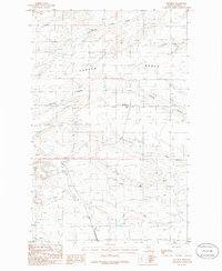
1985 Map of Pendroy
USGS Topo · Published 1986About this map
Porter Bench dominates the landscape of Teton County in this mid-1980s survey, illustrating the complex relationship between the high plains and the managed water systems required for settlement. The small community of Pendroy serves as a focal point in the central part of the sheet, surrounded by a network of drainage features like Farmers Coulee and Pondera Coulee. The presence of the Bynum Canal and the Spoil Bank alongside Jones Creek highlights the significant civil engineering efforts undertaken to distribute water across this arid environment.
Find a feature on this map
13 named features on this map. Tap any name to fly to it.
Don’t see what you’re looking for? This feature index may not catch every label — zoom into the map to look around manually.
Map Details
Editions of this 1985 Pendroy Map
This is the sole edition of this map. No revisions or reprints were ever made.
Other maps of this area

1920 · Choteau
USGS Topo · 1:125,000

1920 · Dupuyer
USGS Topo · 1:125,000

1936 · Pendroy
USGS Topo · 1:48,000

1938 · Gallup City
USGS Topo · 1:62,500

1941 · Pendroy
USGS Topo · 1:62,500

1942 · Gallup City
USGS Topo · 1:62,500

1955 · Choteau
USGS Topo · 1:250,000

1957 · Choteau
USGS Topo · 1:250,000

1958 · Choteau
USGS Topo · 1:250,000

1960 · Bynum
USGS Topo · 1:62,500