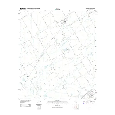
2013 Map of Penelope
USGS Topo · Published 2013About this map
Mount Calm and Penelope anchor this central Texas landscape, a region defined by a network of seasonal watercourses and rural settlements. The topography is shaped by the winding paths of Tehuacana Cr, Mesquite Cr, and Wolf Cr, which create a complex drainage pattern across the agricultural plains. For genealogists, the map is particularly detailed regarding local burial sites, featuring the Czech National Cem and George Newton Cem near Penelope, along with the Tabola Cem and Mesquite Cem further south.
Find a feature on this map
87 named features on this map. Tap any name to fly to it.
Don’t see what you’re looking for? This feature index may not catch every label — zoom into the map to look around manually.
Map Details
Editions of this 2013 Penelope Map
This is the sole edition of this map. No revisions or reprints were ever made.
Other maps of this area

1892 · Waco
USGS Topo · 1:125,000

1920 · Waco
USGS Topo · 1:125,000

1920 · Mart
USGS Topo · 1:62,500

1931 · Elm Mott
USGS Topo · 1:62,500

1954 · Waco
USGS Topo · 1:250,000

1955 · Waco
USGS Topo · 1:250,000

1956 · Hubbard
USGS Topo · 1:24,000

1956 · Penelope
USGS Topo · 1:24,000

1956 · Axtell
USGS Topo · 1:24,000

1956 · Abbott
USGS Topo · 1:24,000