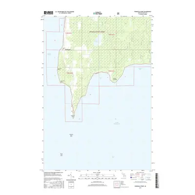
2017 Map of Peninsula Point
USGS Topo · Published 2017About this map
Stonington anchors this coastal survey, situated on the western shore of the Stonington Peninsula between the waters of Lake Michigan and Little Bay de Noc. This landscape is defined by its transition from the wooded reaches of the Hiawatha National Forest to the strategic maritime points that guide vessels into the bays. Near the settlement, Lakeview Cem provides a genealogical touchstone for local families, while the narrow finger of land tapers southward toward the iconic Peninsula Point.
Find a feature on this map
47 named features on this map. Tap any name to fly to it.
Don’t see what you’re looking for? This feature index may not catch every label — zoom into the map to look around manually.
Map Details
Editions of this 2017 Peninsula Point Map
This is the sole edition of this map. No revisions or reprints were ever made.
Other maps of this area

1932 · Gladstone SE
USGS Topo · 1:31,680

1932 · Rapid River SE
USGS Topo · 1:31,680

1932 · Rapid River SW
USGS Topo · 1:31,680

1954 · Escanaba
USGS Topo · 1:250,000

1957 · Escanaba
USGS Topo · 1:250,000

1958 · Escanaba
USGS Topo · 1:250,000

1958 · Gladstone
USGS Topo · 1:62,500

1958 · Escanaba
USGS Topo · 1:62,500

1958 · Peninsula Point
USGS Topo · 1:62,500
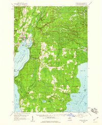
1958 · Rapid River
USGS Topo · 1:62,500