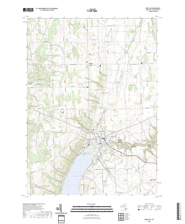
2023 Map of Penn Yan
USGS Topo · Published 2023About this map
Keuka Lake anchors the southern portion of this Yates County landscape, where the village of Penn Yan serves as a significant hub for the Finger Lakes region. The map captures the industrial and agricultural heritage of the area, most notably along the Keuka Lake Outlet, which historically powered the cluster of milling hamlets including Kenka Mills, Seneca Mills, and Milo Mills. The street grid of the village is dominated by the Yates County Courthouse, while surrounding rural townships are dotted with family and community burial grounds such as Lakeview Cem and Benton Rural Cem. To the west, the Guyanoga Valley defines the terrain, and to the north, Benton Center marks a crossroad settlement. This modern survey provides a clear view of the longstanding property divisions, including the Benton Torrey Town Line Rd, which maintains the traditional boundaries of this historic viticultural and milling district.
Find a feature on this map
111 named features on this map. Tap any name to fly to it.
Don’t see what you’re looking for? This feature index may not catch every label — zoom into the map to look around manually.
Map Details
Editions of this 2023 Penn Yan Map
This is the sole edition of this map. No revisions or reprints were ever made.
Other maps of this area

1902 · Geneva
USGS Topo · 1:62,500

1902 · Phelps
USGS Topo · 1:62,500

1902 · Ovid
USGS Topo · 1:62,500

1903 · Penn Yan
USGS Topo · 1:62,500

1942 · Penn Yan
USGS Topo · 1:31,680

1942 · Pulteney
USGS Topo · 1:31,680

1942 · Rushville
USGS Topo · 1:31,680

1942 · Potter
USGS Topo · 1:31,680

1942 · Stanley
USGS Topo · 1:31,680

1942 · Dundee
USGS Topo · 1:24,000