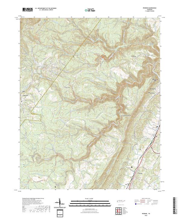
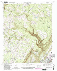
2022 Map of Pennine
USGS Topo · Published 2022About this map
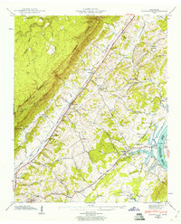
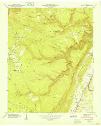
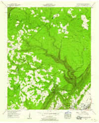
The Cumberland Escarpment defines the dramatic transition between the high plateau of Walden Ridge and the lower Tennessee Valley. This landscape is marked by steep ravines and waterfalls, most notably Stinging Fork Falls and the headwaters of the Piney River. Small settlements such as Pennine and Milo sit near the edges of these topographical shifts, while the town of Spring City occupies the more level terrain to the east.
Find a feature on this map
101 named features on this map. Tap any name to fly to it.
Don’t see what you’re looking for? This feature index may not catch every label — zoom into the map to look around manually.
Map Details
Editions of this 2022 Pennine Map
This is the sole edition of this map. No revisions or reprints were ever made.
Historical Maps of Milo Through Time
12 maps found
1935 Evensville
Rhea County, TN
1935 Morgan Springs
Rhea County, TN
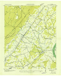
1935 Pennine
Rhea County, TN
1942 Evensville
Rhea County, TN
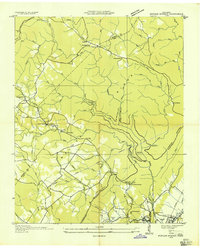
1949 Pennine
Rhea County, TN
1956 Morgan Springs
Rhea County, TN
1972 Morgan Springs
Rhea County, TN
1973 Evensville
Rhea County, TN

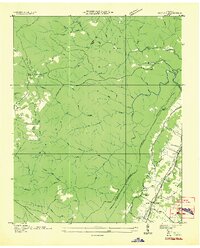
1973 Pennine
Rhea County, TN
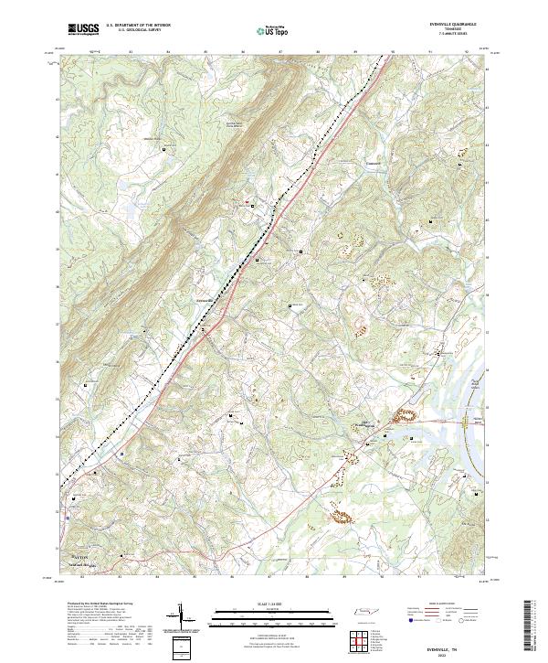
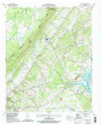
2022 Evensville
Rhea County, TN
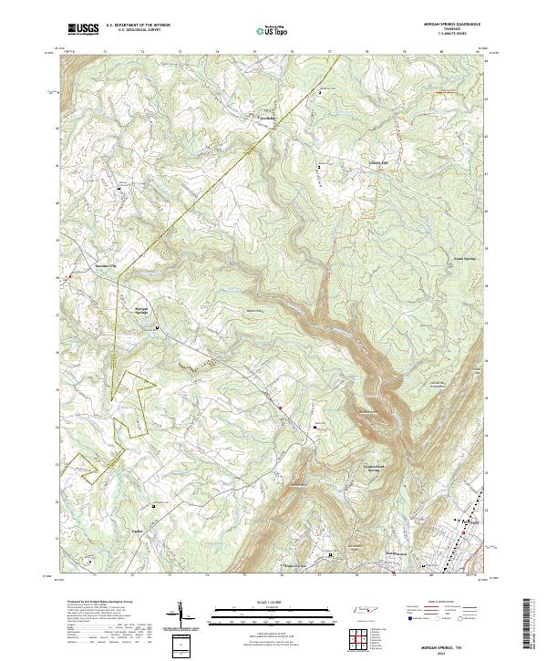
2022 Morgan Springs
Rhea County, TN
2022 Pennine
Rhea County, TN