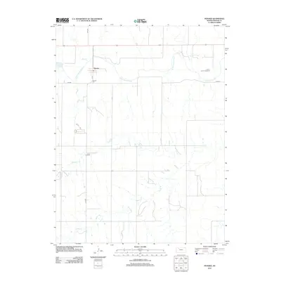
2012 Map of Penokee
USGS Topo · Published 2012About this map
S Fork Solomon River meanders through the northern portion of this High Plains landscape, where the small community of Penokee is positioned at the intersection of local routes like 4th St and River Rd. The area's agricultural and civic character is defined by landmarks such as the Graham County Fairgrounds and several drainage systems, including Rock Cr and Brush Cr, which carve through the terrain. For those researching local families, the map identifies key burial sites including Penokee Cem and Brush Creek Cem. The settlement pattern reflects the typical Kansas grid, with north-south roads like Co RD-539 and east-west thoroughfares connecting the sparse residential pockets to the regional watercourses like Jackson Br.
Find a feature on this map
11 named features on this map. Tap any name to fly to it.
Don’t see what you’re looking for? This feature index may not catch every label — zoom into the map to look around manually.
Map Details
Editions of this 2012 Penokee Map
This is the sole edition of this map. No revisions or reprints were ever made.
Other maps of this area

1893 · Hill
USGS Topo · 1:125,000

1954 · Goodland
USGS Topo · 1:250,000

1955 · Beloit
USGS Topo · 1:250,000

1956 · Goodland
USGS Topo · 1:250,000

1957 · Goodland
USGS Topo · 1:250,000

1959 · Beloit
USGS Topo · 1:250,000

1979 · Hill City South
USGS Topo · 1:24,000

1979 · Morland
USGS Topo · 1:24,000

1979 · Penokee
USGS Topo · 1:24,000

1979 · St Peter
USGS Topo · 1:24,000