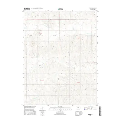
2015 Map of Penokee
USGS Topo · Published 2015About this map
Penokee sits at the northern edge of this Graham County landscape, where the S Fork Solomon River winds eastward across the high plains. The settlement pattern is defined by the rigid grid of the Public Land Survey System, with roads like Main St and River RD serving the local agricultural community. To the north, Rock Cr flows toward the Solomon, while the southern reaches are drained by the meandering Brush Cr and Jackson Br. Genealogists and local historians will find value in the specific locations of the Penokee Cem and Brush Creek Cem, which mark the generational ties of the area's residents. This 2015 study by the U.S. Geological Survey captures the quiet character of western Kansas, where the intersection of watercourses and township-range lines continues to dictate the local geography.
Find a feature on this map
26 named features on this map. Tap any name to fly to it.
Don’t see what you’re looking for? This feature index may not catch every label — zoom into the map to look around manually.
Map Details
Editions of this 2015 Penokee Map
This is the sole edition of this map. No revisions or reprints were ever made.
Other maps of this area

1893 · Hill
USGS Topo · 1:125,000

1954 · Goodland
USGS Topo · 1:250,000

1955 · Beloit
USGS Topo · 1:250,000

1956 · Goodland
USGS Topo · 1:250,000

1957 · Goodland
USGS Topo · 1:250,000

1959 · Beloit
USGS Topo · 1:250,000

1979 · Hill City South
USGS Topo · 1:24,000

1979 · Morland
USGS Topo · 1:24,000

1979 · Penokee
USGS Topo · 1:24,000

1979 · St Peter
USGS Topo · 1:24,000