
1959 Map of Pensacola
USGS Topo · Published 1959About this map
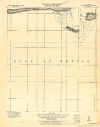
The Gulf Coast landscape of the late 1950s is defined by a dense network of military aviation facilities and coastal expansion. Pensacola serves as the central hub, surrounded by critical training grounds like Pensacola NAS, Saufley Field, and Corry Field. To the east, the massive footprint of Eglin Air Force Base spans the coast from Choctawhatchee Bay to Niceville, including numerous satellite fields like Eglin Air Force No 1.
Find a feature on this map
201 named features on this map. Tap any name to fly to it.
Don’t see what you’re looking for? This feature index may not catch every label — zoom into the map to look around manually.
Map Details
Editions of this 1959 Pensacola Map
This is the sole edition of this map. No revisions or reprints were ever made.
Other maps of this area

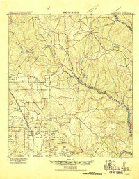
1920 · Milton
USGS Topo · 1:62,500
1920 · Robertsdale
USGS Topo · 1:62,500
1921 · Holley
USGS Topo · 1:62,500
1921 · Bon Secour
USGS Topo · 1:62,500

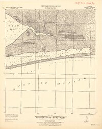
1921 · Pensacola
USGS Topo · 1:62,500
1921 · Point Clear
USGS Topo · 1:62,500

1921 · Fairhope
USGS Topo · 1:62,500
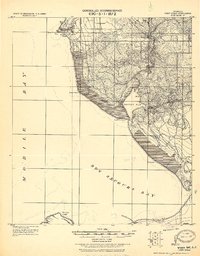
1921 · Dauphin Island
USGS Topo · 1:62,500

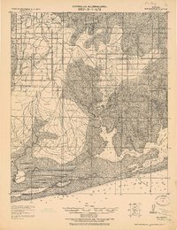
1921 · Fort Barrancas
USGS Topo · 1:62,500

1921 · Muscogee
USGS Topo · 1:62,500