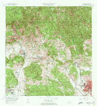
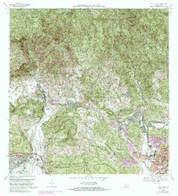
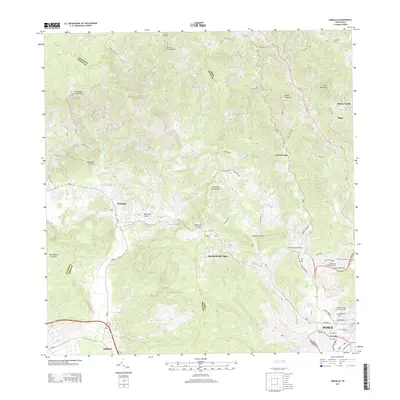
2024 Map of Penuelas
USGS Topo · Published 2024About this map
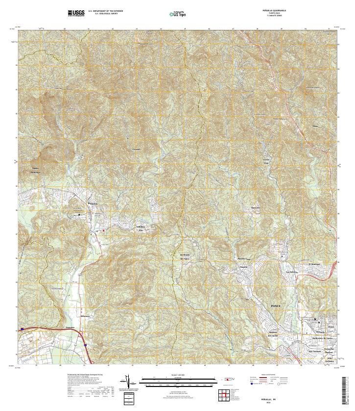
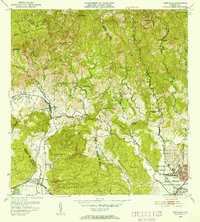
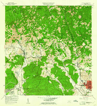
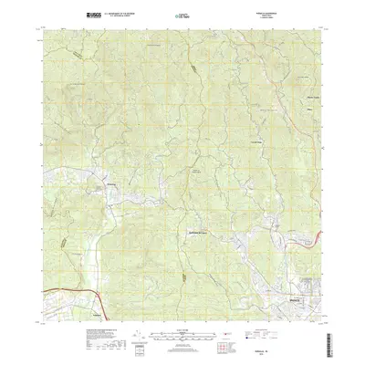
The town of Peñuelas sits as the central hub of this modern topographic record, where the southern coastal plains meet the rising foothills of the Cordillera Central. The landscape is defined by the drainage basins of the Rio Tallaboa and Rio Guayanilla, which have historically dictated the placement of settlements like Tallaboa Alta and Santo Domingo. The transition from the dense urban developments of Ponce in the southeast, including neighborhoods like Las Delicias and Villa Grillasca, to the higher elevations of Cerro Mata de Plátano and Monte Marqueño illustrates the varied geography of the region. Local history is anchored by significant landmarks such as the Tribunal de Peñuelas and several resting places including the Cementerio Municipal de Peñuelas and the Cementerio Civil de Ponce, which serve as vital touchstones for genealogical research in these communities.
Find a feature on this map
62 named features on this map. Tap any name to fly to it.
Don’t see what you’re looking for? This feature index may not catch every label — zoom into the map to look around manually.
Map Details
Editions of this 2024 Penuelas Map
This is the sole edition of this map. No revisions or reprints were ever made.
Historical Maps of Peñuelas Through Time
11 maps found
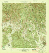
1946 Penuelas
Peñuelas Municipio, PR
1947 Penuelas NO
Peñuelas Municipio, PR
1947 Penuelas SO
Peñuelas Municipio, PR
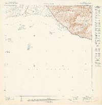
1947 Punta Gughara NO
Peñuelas Municipio, PR
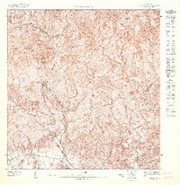
1952 Penuelas
Peñuelas Municipio, PR
1958 Penuelas
Peñuelas Municipio, PR
1964 Penuelas
Peñuelas Municipio, PR
1972 Penuelas
Peñuelas Municipio, PR
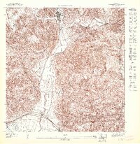
2013 Penuelas
Peñuelas Municipio, PR
2018 Penuelas
Peñuelas Municipio, PR
2024 Penuelas
Peñuelas Municipio, PR
Featured Locations
- Peñuelas, Peñuelas
- Sector La Gelpa, Peñuelas
- Sector Loyola, Peñuelas
- Sector Los Cruz, Ponce
- Sector Los Garcías, Ponce