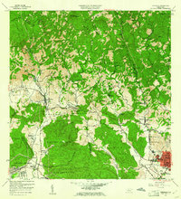
1958 Map of Penuelas
USGS Topo · Published 1961About this map
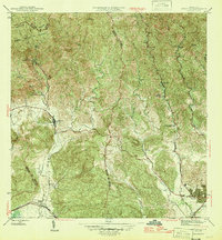
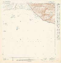
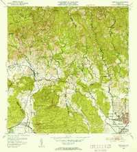
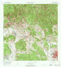
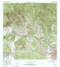
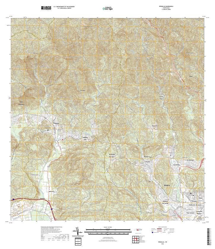
The southern foothills of the Cordillera Central meet the Caribbean coastal plain in this detailed portrait of southern Puerto Rico. The landscape is defined by the sharp transition from the steep peaks of Cerro del Diablo and Monte Maqueno down to the industrial and agricultural corridors of the Río Tallaboa valley. Civil engineering and industry are prominent, from the Salto Garzas Central Hidroeléctrica No 1 in the northern heights to the massive Refineria De Petroleo near the coast.
Find a feature on this map
94 named features on this map. Tap any name to fly to it.
Don’t see what you’re looking for? This feature index may not catch every label — zoom into the map to look around manually.
Map Details
Editions of this 1958 Penuelas Map
This is the sole edition of this map. No revisions or reprints were ever made.
Historical Maps of Peñuelas Through Time
11 maps found
1946 Penuelas
Peñuelas Municipio, PR
1947 Penuelas NO
Peñuelas Municipio, PR
1947 Penuelas SO
Peñuelas Municipio, PR
1947 Punta Gughara NO
Peñuelas Municipio, PR
1952 Penuelas
Peñuelas Municipio, PR
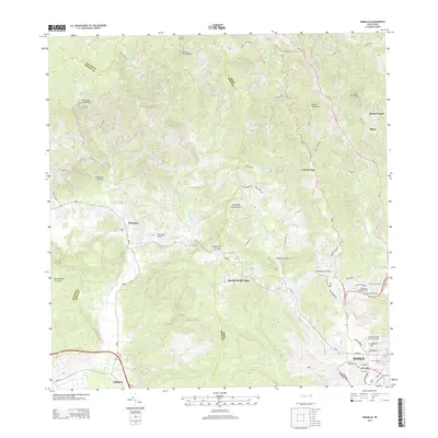
1958 Penuelas
Peñuelas Municipio, PR
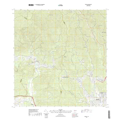
1964 Penuelas
Peñuelas Municipio, PR
1972 Penuelas
Peñuelas Municipio, PR
2013 Penuelas
Peñuelas Municipio, PR
2018 Penuelas
Peñuelas Municipio, PR
2024 Penuelas
Peñuelas Municipio, PR
Featured Locations
- Peñuelas, Peñuelas
- Sector La Gelpa, Peñuelas
- Sector Loyola, Peñuelas
- Sector Los Cruz, Ponce
- Sector La Vaquería, Ponce