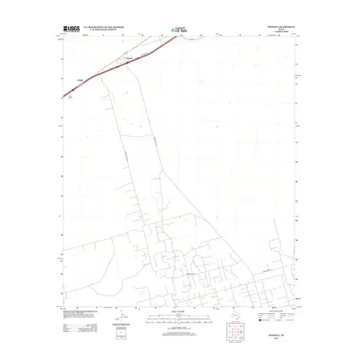
2012 Map of Penwell
USGS Topo · Published 2012About this map
Penwell serves as the primary hub for this stretch of the West Texas Permian Basin, where the influence of the energy industry is etched into the landscape. The infrastructure reveals an area designed for utility and resource extraction, anchored by the namesake settlement and the smaller Badger to the west. Industrial activity is concentrated along the northern corridor near Avenue G and Frontage Rd, while the southern expanse is defined by a dense, geometric grid of service roads including Texaco Plant Rd and Ranch Road 1601. These tracks provide access to the vast oil and gas fields characteristic of Ector County. Amidst this technological footprint, the C-Bar Ranch and its associated C Bar Ranch Rd represent the persistent ranching heritage that predates and still coexists with the region's petroleum development.
Find a feature on this map
10 named features on this map. Tap any name to fly to it.
Don’t see what you’re looking for? This feature index may not catch every label — zoom into the map to look around manually.
Map Details
Editions of this 2012 Penwell Map
This is the sole edition of this map. No revisions or reprints were ever made.
Other maps of this area

1954 · Pecos
USGS Topo · 1:250,000

1957 · Pecos
USGS Topo · 1:250,000

1964 · Odessa SW
USGS Topo · 1:24,000

1964 · Douro
USGS Topo · 1:24,000

1964 · Metz
USGS Topo · 1:24,000

1964 · Red Lakes
USGS Topo · 1:24,000

1964 · Doodle Bug Well
USGS Topo · 1:24,000

1964 · Penwell SW
USGS Topo · 1:24,000

1964 · Penwell
USGS Topo · 1:24,000

1964 · Penwell SE
USGS Topo · 1:24,000