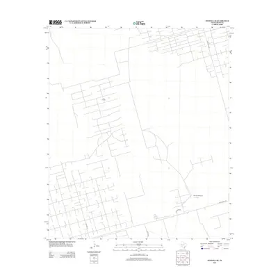
2012 Map of Penwell SE
USGS Topo · Published 2012About this map
The C Bar Oil Field dominates this Crane County landscape, revealing an intricate grid of access roads and infrastructure characteristic of the Permian Basin's energy production. This industrial footprint is punctuated by the J Bar Ranch, a significant local landholding that includes its own private J-Bar Ranch Airport. The transportation network is defined by a series of named arteries including Ranch Road 1601 and Ranch Road 1233, which provide connectivity across the arid terrain. Local routes like Katie Lea Rd and Jim McGee Rd further illustrate the intersection of private ranching and industrial oil operations in this part of West Texas during the early 21st century.
Find a feature on this map
8 named features on this map. Tap any name to fly to it.
Don’t see what you’re looking for? This feature index may not catch every label — zoom into the map to look around manually.
Map Details
Editions of this 2012 Penwell SE Map
This is the sole edition of this map. No revisions or reprints were ever made.
Other maps of this area

1928 · Crane
USGS Topo · 1:125,000

1954 · Pecos
USGS Topo · 1:250,000

1957 · Pecos
USGS Topo · 1:250,000

1964 · Metz
USGS Topo · 1:24,000

1964 · Doodle Bug Well
USGS Topo · 1:24,000

1964 · Penwell SW
USGS Topo · 1:24,000

1964 · Penwell
USGS Topo · 1:24,000

1964 · Penwell SE
USGS Topo · 1:24,000

1964 · Clark Brothers Ranch
USGS Topo · 1:24,000

1974 · Tubbs Corner
USGS Topo · 1:24,000