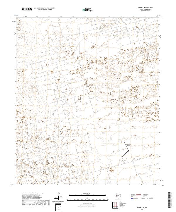
2022 Map of Penwell SE
USGS Topo · Published 2022About this map
The vast grazing lands and oil-patch infrastructure of Crane County define this section of West Texas. A network of rural and industrial access ways, including Key Road 10 and Katie Lea Rd, crisscrosses a landscape marked by scattered developments and ranching interests. The most significant navigational landmark is the J-Bar Ranch Airport, situated south of the convergence of Smith Rd and J-Bar Rd. This 2022 survey illustrates the modern layout of regional transportation, where larger arteries like Fm 1601 N and the dual-labeled Farm Rd 1233 and Ranch Rd 1233 provide essential connectivity across the Permian Basin's open terrain. The mapping reveals a sparse but deliberate pattern of human activity concentrated along these improved routes.
Find a feature on this map
8 named features on this map. Tap any name to fly to it.
Don’t see what you’re looking for? This feature index may not catch every label — zoom into the map to look around manually.
Map Details
Editions of this 2022 Penwell SE Map
This is the sole edition of this map. No revisions or reprints were ever made.
Other maps of this area

1928 · Crane
USGS Topo · 1:125,000

1954 · Pecos
USGS Topo · 1:250,000

1957 · Pecos
USGS Topo · 1:250,000

1964 · Metz
USGS Topo · 1:24,000

1964 · Doodle Bug Well
USGS Topo · 1:24,000

1964 · Penwell SW
USGS Topo · 1:24,000

1964 · Penwell
USGS Topo · 1:24,000

1964 · Penwell SE
USGS Topo · 1:24,000

1964 · Clark Brothers Ranch
USGS Topo · 1:24,000

1974 · Tubbs Corner
USGS Topo · 1:24,000