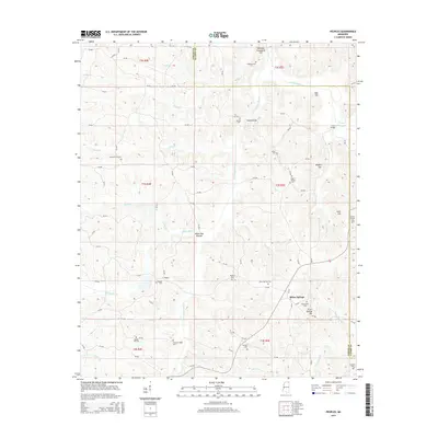
2015 Map of Peoples
USGS Topo · Published 2015About this map
The Hatchie River and its tributary, the Little Hatchie River, define the landscape of this rural corridor along the Tippah and Alcorn County line. The terrain is a network of ridges and bottoms, most notably White Oak Bottom and several family-named landmarks like Rogers Hill and Neil Hill. The settlement pattern is largely decentralized, centered on crossroads and many small burial grounds that suggest a long history of family farming and local congregations.
Find a feature on this map
98 named features on this map. Tap any name to fly to it.
Don’t see what you’re looking for? This feature index may not catch every label — zoom into the map to look around manually.
Map Details
Editions of this 2015 Peoples Map
This is the sole edition of this map. No revisions or reprints were ever made.
Other maps of this area

1921 · Booneville
USGS Topo · 1:48,000

1922 · Booneville
USGS Topo · 1:62,500

1950 · Corinth
USGS Topo · 1:62,500

1951 · Walnut
USGS Topo · 1:62,500

1955 · Ripley
USGS Topo · 1:62,500

1956 · Tupelo
USGS Topo · 1:250,000

1958 · Tupelo
USGS Topo · 1:250,000

1972 · Jumpertown
USGS Topo · 1:24,000
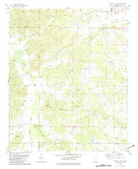
1982 · Kossuth South
USGS Topo · 1:24,000
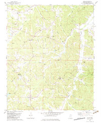
1982 · Dumas
USGS Topo · 1:24,000