
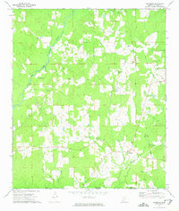
1972 Map of Peoria
USGS Topo · Published 1974About this map
The Old Indian Treaty Boundary slices through the center of this terrain, marking a significant historical line of demarcation across the rural landscape of Amite County. The area is defined by the winding course of the Amite River and its East Fork, which drain a network of small creeks and branches. Small communities and family settlements like Peoria and Glading serve as focal points for local history, supported by numerous country churches such as Hebron Ch and Summers Chapel.
Find a feature on this map
35 named features on this map. Tap any name to fly to it.
Don’t see what you’re looking for? This feature index may not catch every label — zoom into the map to look around manually.
Map Details
Editions of this 1972 Peoria Map
This is the sole edition of this map. No revisions or reprints were ever made.
Other maps of this area

1953 · Natchez
USGS Topo · 1:250,000

1956 · Natchez
USGS Topo · 1:250,000

1959 · Natchez
USGS Topo · 1:250,000

1961 · Liberty
USGS Topo · 1:62,500

1962 · Bude
USGS Topo · 1:62,500

1972 · Smithdale
USGS Topo · 1:24,000

1972 · Auburn
USGS Topo · 1:24,000

1972 · Lake Tangipahoa
USGS Topo · 1:24,000
1972 · Gillsburg
USGS Topo · 1:24,000
1972 · Terrys Creek
USGS Topo · 1:24,000