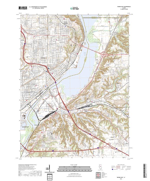
2024 Map of Peoria East
USGS Topo · Published 2024About this map
Illinois River traffic and industrial rail lines anchor this contemporary survey of the urban corridor between Peoria and East Peoria. The landscape is defined by the expansive Upper Peoria Lake and a complex network of water management, including the Farm Creek Diversion Channel and several tributaries like Tenmile Creek and Kerfoot Creek. The area’s institutional history is represented by the Peoria County Courthouse, Bradley University, and Saint Francis Medical Center College of Nursing.
Find a feature on this map
45 named features on this map. Tap any name to fly to it.
Don’t see what you’re looking for? This feature index may not catch every label — zoom into the map to look around manually.
Map Details
Editions of this 2024 Peoria East Map
This is the sole edition of this map. No revisions or reprints were ever made.
Other maps of this area

1893 · Metamora
USGS Topo · 1:62,500

1893 · Dunlap
USGS Topo · 1:62,500

1898 · Dunlap
USGS Topo · 1:62,500

1905 · Peoria
USGS Topo · 1:62,500

1927 · Peoria
USGS Topo · 1:62,500

1928 · Mackinaw
USGS Topo · 1:62,500

1932 · Mackinaw
USGS Topo · 1:62,500

1932 · Dunlap
USGS Topo · 1:62,500

1933 · Dunlap
USGS Topo · 1:62,500

1937 · Metamora
USGS Topo · 1:62,500