
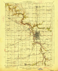
1989 Map of Peoria
USGS Topo · Published 1989About this map
The Illinois River valley serves as the central artery for this late 20th-century landscape, widening into Peoria Lake and Upper Peoria Lake as it passes the industrial and academic hubs of Peoria and Pekin. The map documents a complex transportation network where major rail lines like the Toledo Peoria and Western Railway and Atchison Topeka and Santa Fe Railway intersect with the burgeoning interstate system. On the western bluffs, Bradley University stands near the city center, while regional campuses like Illinois Central College and Eureka College anchor the surrounding communities. Evidence of the region's diverse land use is visible in the active Strip Mine operations near Edwards and Rosefield, contrasted with protected natural spaces such as Jubilee College State Park and the Woodford County State Fish and Wildlife Area.
Find a feature on this map
277 named features on this map. Tap any name to fly to it.
Don’t see what you’re looking for? This feature index may not catch every label — zoom into the map to look around manually.
Map Details
Editions of this 1989 Peoria Map
This is the sole edition of this map. No revisions or reprints were ever made.
Other maps of this area

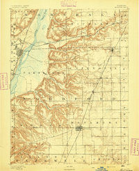
1893 · Lacon
USGS Topo · 1:62,500
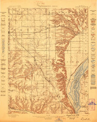
1893 · Metamora
USGS Topo · 1:62,500

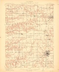
1893 · Dunlap
USGS Topo · 1:62,500
1898 · Dunlap
USGS Topo · 1:62,500
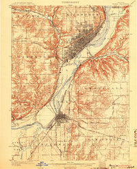
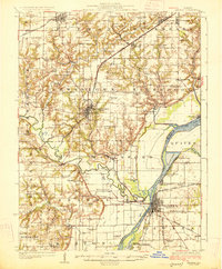
1905 · Peoria
USGS Topo · 1:62,500
1912 · Canton
USGS Topo · 1:62,500
1925 · Havana
USGS Topo · 1:62,500

1925 · Streator
USGS Topo · 1:62,500

1926 · Normal
USGS Topo · 1:62,500
1927 · Streator
USGS Topo · 1:62,500