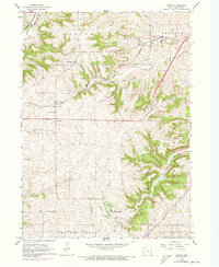
1966 Map of Peosta
USGS Topo · Published 1973About this map
New Melleray Abbey anchors the southern landscape of this Dubuque County survey, situated just north of Holy Family Ch near the banks of Catfish Creek. The map documents a mid-century rural infrastructure defined by prominent religious and civic institutions, from the St Johns Sch in Peosta to the County Home and Fairground near Julien. The terrain is characterized by the significant ridge of Table Mound and its associated Table Mound Valley, while the drainage of the Little Maquoketa River carves the northwestern corner near Graf.
Find a feature on this map
36 named features on this map. Tap any name to fly to it.
Don’t see what you’re looking for? This feature index may not catch every label — zoom into the map to look around manually.
Map Details
Editions of this 1966 Peosta Map
2 editions found
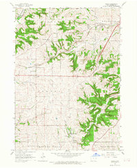
Other maps of this area

1900 · Lancaster
USGS Topo · 1:125,000

1901 · Peosta
USGS Topo · 1:125,000

1904 · Lancaster
USGS Topo · 1:125,000

1908 · Lancaster
USGS Topo · 1:125,000

1935 · East Dubuque
USGS Topo · 1:62,500

1940 · East Dubuque
USGS Topo · 1:62,500

1955 · Dubuque South
USGS Topo · 1:24,000

1956 · Dubuque North
USGS Topo · 1:24,000

1956 · Sherrill
USGS Topo · 1:24,000

1957 · Holy Cross
USGS Topo · 1:24,000