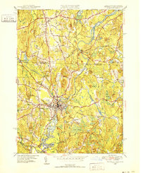
1950 Map of Pepperell
USGS Topo · Published 1952About this map
The Nashua River and its tributary, the Nissitissit River, dictate the geography of this mid-century borderland between Massachusetts and New Hampshire. The primary settlements of Pepperell and East Pepperell are densely mapped, showing the concentration of civic life around the Green Street Sch and St Joseph Ch. To the north, across the state line, the town of Hollis remains largely rural, defined by family-named landmarks like Proctor Hill and Flints Hill. The industrial and transport infrastructure of the era is anchored by the Boston and Maine Railroad, which follows the river valley past Hollis Depot. This survey captures a specific moment when the mill-town character of the region persisted alongside expanding road networks like Depot Rd and Townsend Rd. Smaller clusters such as West Hollis and Hovey Corner show the traditional New England pattern of outlying hamlets centered on crossroads.
Find a feature on this map
54 named features on this map. Tap any name to fly to it.
Don’t see what you’re looking for? This feature index may not catch every label — zoom into the map to look around manually.
Map Details
Editions of this 1950 Pepperell Map
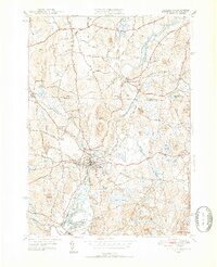
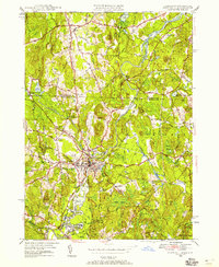
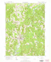
4 editions found
Other maps of this area

1886 · Lowell
USGS Topo · 1:62,500

1893 · Lowell
USGS Topo · 1:62,500

1893 · Groton
USGS Topo · 1:62,500

1905 · Manchester
USGS Topo · 1:62,500

1906 · Milford
USGS Topo · 1:62,500

1918 · Lowell
USGS Topo · 1:62,500

1921 · Lowell
USGS Topo · 1:62,500

1931 · Lowell
USGS Topo · 1:48,000

1931 · Groton
USGS Topo · 1:48,000

1935 · Ayer
USGS Topo · 1:24,000