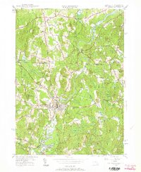
1950 Map of Pepperell
USGS Topo · Published 1963About this map
The Nashua River carves a winding path through this mid-century borderland, marking the transition between the rolling hills of New Hampshire and northern Massachusetts. This landscape is defined by the tight-knit settlement of Pepperell and its neighbor East Pepperell, where the Boston and Maine Railroad corridors and the waters of Greens Brook converge. The mapping reveals a rural economy still anchored by its geography, featuring numerous family-named landmarks like Blood Hill and Hound Meadow Hill.
Find a feature on this map
44 named features on this map. Tap any name to fly to it.
Don’t see what you’re looking for? This feature index may not catch every label — zoom into the map to look around manually.
Map Details
Editions of this 1950 Pepperell Map
4 editions found
Other maps of this area

1886 · Lowell
USGS Topo · 1:62,500

1893 · Lowell
USGS Topo · 1:62,500

1893 · Groton
USGS Topo · 1:62,500

1905 · Manchester
USGS Topo · 1:62,500

1906 · Milford
USGS Topo · 1:62,500

1918 · Lowell
USGS Topo · 1:62,500

1921 · Lowell
USGS Topo · 1:62,500

1931 · Lowell
USGS Topo · 1:48,000

1931 · Groton
USGS Topo · 1:48,000

1935 · Ayer
USGS Topo · 1:24,000