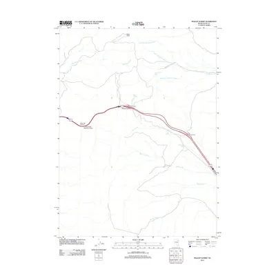
2012 Map of Pequop Summit
USGS Topo · Published 2012About this map
Pequop Summit stands as the central landmark of this Elko County landscape, serving as a critical high-elevation pass for regional transit. The topography is defined by the drainage systems of the Squaw Creek network to the north, including the North Fork Squaw Creek and East Squaw Creek, while the southern reaches are marked by the seasonal flows of Sixmile Creek and Nanny Creek. This 2012 survey illustrates the modern intersection of infrastructure and natural hydrology, where the high-altitude route passes near numerous vital water sources such as Summit Spring and Adele Spring. Notable geological features like Maverick Canyon and Rocky Point punctuate the terrain, providing clear reference points for those tracking the historical transit routes and water-dependent landmarks of the northeastern Nevada desert.
Find a feature on this map
18 named features on this map. Tap any name to fly to it.
Don’t see what you’re looking for? This feature index may not catch every label — zoom into the map to look around manually.
Map Details
Editions of this 2012 Pequop Summit Map
This is the sole edition of this map. No revisions or reprints were ever made.
Other maps of this area

1955 · Wells
USGS Topo · 1:250,000

1955 · Elko
USGS Topo · 1:250,000

1958 · Wells
USGS Topo · 1:250,000

1958 · Elko
USGS Topo · 1:250,000

1961 · Wells
USGS Topo · 1:250,000

1962 · Elko
USGS Topo · 1:250,000

1965 · Elko
USGS Topo · 1:250,000

1967 · Valley Pass
USGS Topo · 1:24,000

1967 · Cobre
USGS Topo · 1:24,000

1968 · Independence Valley NE
USGS Topo · 1:24,000