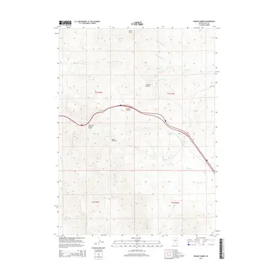
2014 Map of Pequop Summit
USGS Topo · Published 2014About this map
Pequop Summit serves as the central high point of this high-elevation survey, where the winding path of Interstate 80 cuts through the Pequop Mountains. This region of Elko County is defined by its network of seasonal drainages and springs, indicating a landscape where water sources like Milk House Spring, Adele Spring, and Wally Spring were vital markers for travel and livestock. The terrain is deeply incised by canyons, most notably Maverick Canyon and South Fork Maverick Canyon, which provide natural corridors through the range. A complex system of creeks, including N Fork E Squaw Cr and Nanny Cr, flow from the heights of Rocky Point, illustrating the drainage patterns of the Great Basin during the early 21st century.
Find a feature on this map
22 named features on this map. Tap any name to fly to it.
Don’t see what you’re looking for? This feature index may not catch every label — zoom into the map to look around manually.
Map Details
Editions of this 2014 Pequop Summit Map
This is the sole edition of this map. No revisions or reprints were ever made.
Other maps of this area

1955 · Wells
USGS Topo · 1:250,000

1955 · Elko
USGS Topo · 1:250,000

1958 · Wells
USGS Topo · 1:250,000

1958 · Elko
USGS Topo · 1:250,000

1961 · Wells
USGS Topo · 1:250,000

1962 · Elko
USGS Topo · 1:250,000

1965 · Elko
USGS Topo · 1:250,000

1967 · Valley Pass
USGS Topo · 1:24,000

1967 · Cobre
USGS Topo · 1:24,000

1968 · Independence Valley NE
USGS Topo · 1:24,000