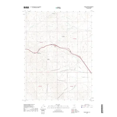
2018 Map of Pequop Summit
USGS Topo · Published 2018About this map
The Pequop Mountains dominate this high-desert landscape in northeastern Nevada, anchored by the critical mountain pass at Pequop Summit. The terrain is defined by a network of seasonal drainages and vital water sources like Summit Spring, Adele Spring, and Milk House Spring, which have historically sustained travelers and livestock in this arid corridor. Modern recreational use has carved new paths through the canyons, most notably the whimsically named Pequop Penelopes Phantamagorical Pedalfest trail and the Beginner Loop.
Find a feature on this map
25 named features on this map. Tap any name to fly to it.
Don’t see what you’re looking for? This feature index may not catch every label — zoom into the map to look around manually.
Map Details
Editions of this 2018 Pequop Summit Map
This is the sole edition of this map. No revisions or reprints were ever made.
Other maps of this area

1955 · Wells
USGS Topo · 1:250,000

1955 · Elko
USGS Topo · 1:250,000

1958 · Wells
USGS Topo · 1:250,000

1958 · Elko
USGS Topo · 1:250,000

1961 · Wells
USGS Topo · 1:250,000

1962 · Elko
USGS Topo · 1:250,000

1965 · Elko
USGS Topo · 1:250,000

1967 · Valley Pass
USGS Topo · 1:24,000

1967 · Cobre
USGS Topo · 1:24,000

1968 · Independence Valley NE
USGS Topo · 1:24,000