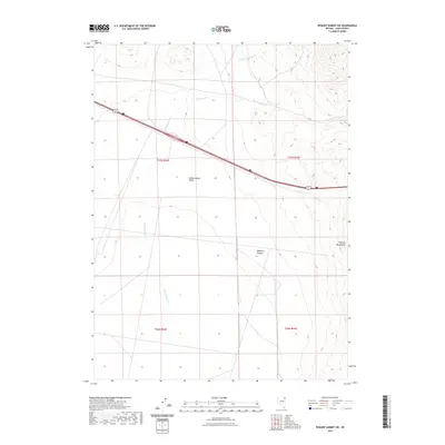
2021 Map of Pequop Summit SW
USGS Topo · Published 2021About this map
Independence Valley dominates this high-altitude basin in Elko County, where seasonal drainages like Independence Cr and W Squaw Cr navigate the broad valley floor. The eastern edge of the survey is defined by the steep slopes of the Pequop Mountains and the mouth of Maverick Canyon, creating a stark transition from the alluvial flats to the uplifted terrain. Modern transportation infrastructure, specifically Interstate 80 and Alternate U.S. 93, cuts a direct path across the northern reaches of the valley, following a corridor that has historically served as a critical passage through this portion of the Great Basin. In the northern section, Barnet Springs Cr feeds into the complex drainage system of the basin, illustrating the hydrology of a landscape where water is a defining, albeit scarce, resource.
Find a feature on this map
12 named features on this map. Tap any name to fly to it.
Don’t see what you’re looking for? This feature index may not catch every label — zoom into the map to look around manually.
Map Details
Editions of this 2021 Pequop Summit SW Map
This is the sole edition of this map. No revisions or reprints were ever made.
Other maps of this area

1955 · Wells
USGS Topo · 1:250,000

1955 · Elko
USGS Topo · 1:250,000

1958 · Wells
USGS Topo · 1:250,000

1958 · Elko
USGS Topo · 1:250,000

1961 · Wells
USGS Topo · 1:250,000

1962 · Elko
USGS Topo · 1:250,000

1965 · Elko
USGS Topo · 1:250,000

1968 · Moor Summit
USGS Topo · 1:24,000

1968 · Independence Valley NE
USGS Topo · 1:24,000

1968 · Holborn
USGS Topo · 1:24,000