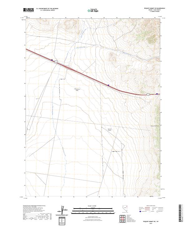
2023 Map of Pequop Summit SW
USGS Topo · Published 2023About this map
Independence Valley dominates this high-altitude basin, where the landscape transitions from open flats to the rising slopes of the Pequop Mountains in the east. Hydrological patterns are defined by several drainage systems, including Independence Creek, West Pequop Creek, and Barner Springs Creek, which collect runoff from the surrounding peaks. The area is characterized by its isolation and the stark contrast between the valley floor and the steep terrain of Maverick Canyon. Transportation through this corner of Nevada is funneled through major corridors, specifically the Interstate 80 and Alt 93 junction. This modern topographic record traces the precise township and range boundaries, such as t37n r64e and t36n r65e, which organize the vast public and private land parcels of the Great Basin.
Find a feature on this map
12 named features on this map. Tap any name to fly to it.
Don’t see what you’re looking for? This feature index may not catch every label — zoom into the map to look around manually.
Map Details
Editions of this 2023 Pequop Summit SW Map
This is the sole edition of this map. No revisions or reprints were ever made.
Other maps of this area

1955 · Wells
USGS Topo · 1:250,000

1955 · Elko
USGS Topo · 1:250,000

1958 · Wells
USGS Topo · 1:250,000

1958 · Elko
USGS Topo · 1:250,000

1961 · Wells
USGS Topo · 1:250,000

1962 · Elko
USGS Topo · 1:250,000

1965 · Elko
USGS Topo · 1:250,000

1968 · Moor Summit
USGS Topo · 1:24,000

1968 · Independence Valley NE
USGS Topo · 1:24,000

1968 · Holborn
USGS Topo · 1:24,000