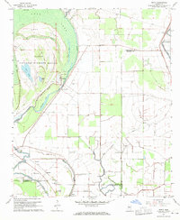
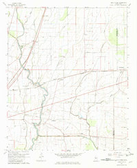
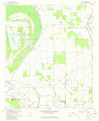
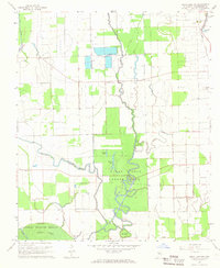
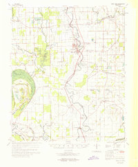
1967 Map of Percy
USGS Topo · Published 1970This historical map portrays the area of Percy in 1967, primarily covering Washington County as well as portions of Issaquena County and Sharkey County. Featuring a scale of 1:24000, this map provides a highly detailed snapshot of the terrain, roads, buildings, counties, and historical landmarks in the Percy region at the time. Published in 1970, it is one of 2 known editions of this map due to revisions or reprints.
Find a feature on this map
45 named features on this map. Tap any name to fly to it.
Don’t see what you’re looking for? This feature index may not catch every label — zoom into the map to look around manually.
Map Details
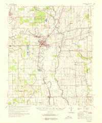
Editions of this 1967 Percy Map
2 editions found
Historical Maps of Spencer Through Time
10 maps found

1939 Swan Lake
Washington County, MS

1939 Tralake
Washington County, MS
1967 Holly Ridge
Washington County, MS
1967 Percy
Washington County, MS
1967 Swan Lake NW
Washington County, MS

1967 Tribbett
Washington County, MS
1969 Swan Lake
Washington County, MS
1969 Tralake
Washington County, MS
1970 Avon
Washington County, MS
1970 Wayside
Washington County, MS