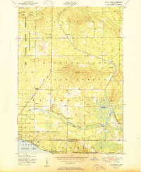
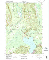
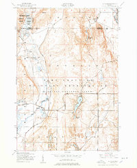
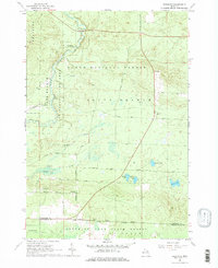
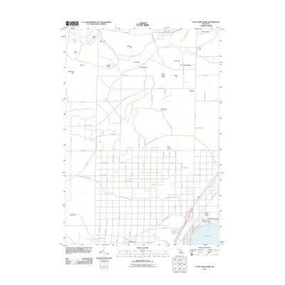
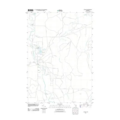
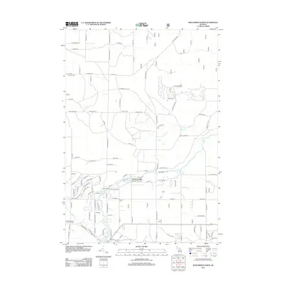
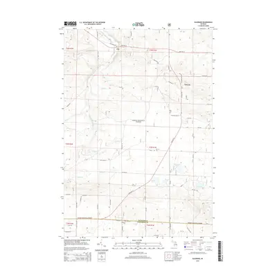
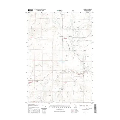
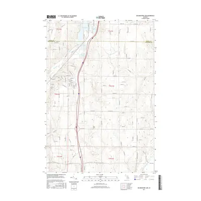
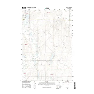
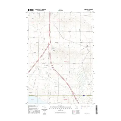
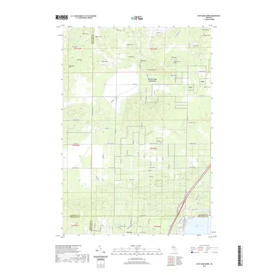
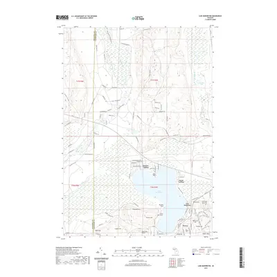
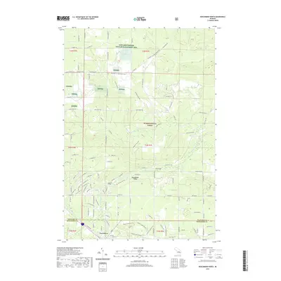
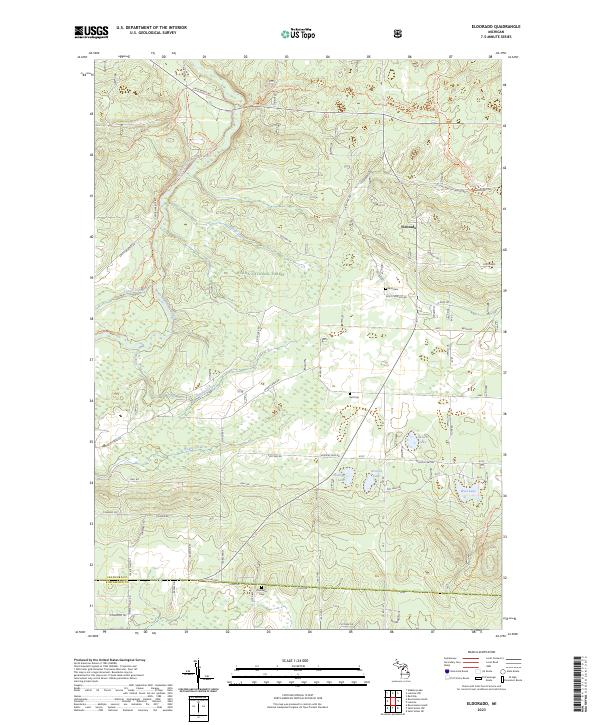
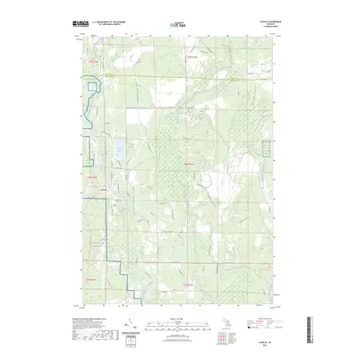
1951 Map of Pere Cheney
USGS Topo · Published 1951About this map
The transition between Crawford and Roscommon counties is marked here by the extensive Higgins Lake State Forest and the northern reaches of Higgins Lake itself. This mid-century survey documents the small settlement of Pere Cheney along the New York Central railroad, a site notable for the Cheney Cemetery. To the west, the landscape is defined by the Camp Grayling Military Reservation, which includes specialized features like rifle ranges and the Hanson State Game Refuge.
Find a feature on this map
43 named features on this map. Tap any name to fly to it.
Don’t see what you’re looking for? This feature index may not catch every label — zoom into the map to look around manually.
Map Details
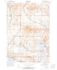
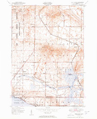
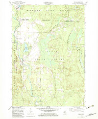
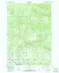
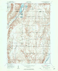
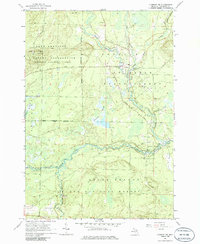
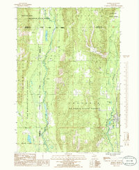
Editions of this 1951 Pere Cheney Map
3 editions found
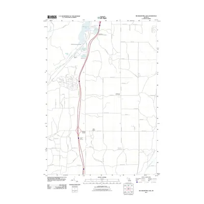
Historical Maps of Beaver Creek Township Through Time
68 maps found
1950 Cote Dame Marie
Crawford County, MI
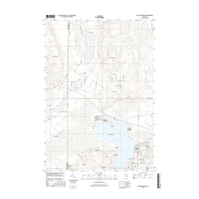
1950 Lake Margrethe
Crawford County, MI
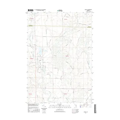
1950 Lovells
Crawford County, MI
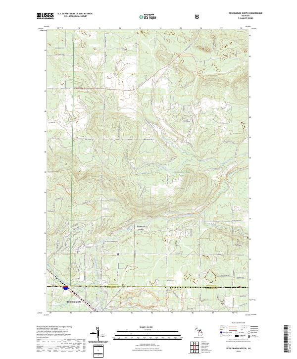
1950 Roscommon North
Crawford County, MI
1951 Big Bradford Lake
Crawford County, MI
1951 K P Lake
Crawford County, MI
1951 Lovells
Crawford County, MI
1951 Pere Cheney
Crawford County, MI
1951 Roscommon North
Crawford County, MI
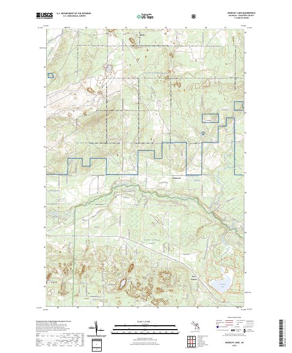
1951 Wakeley Lake
Crawford County, MI
1963 Eldorado
Crawford County, MI
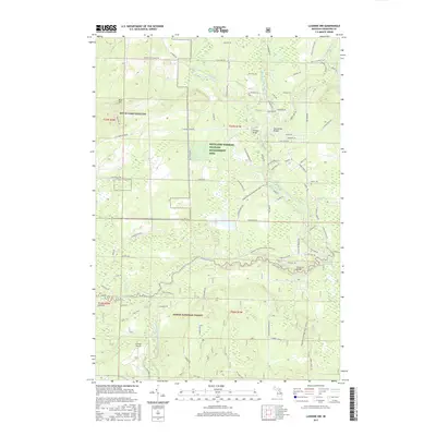
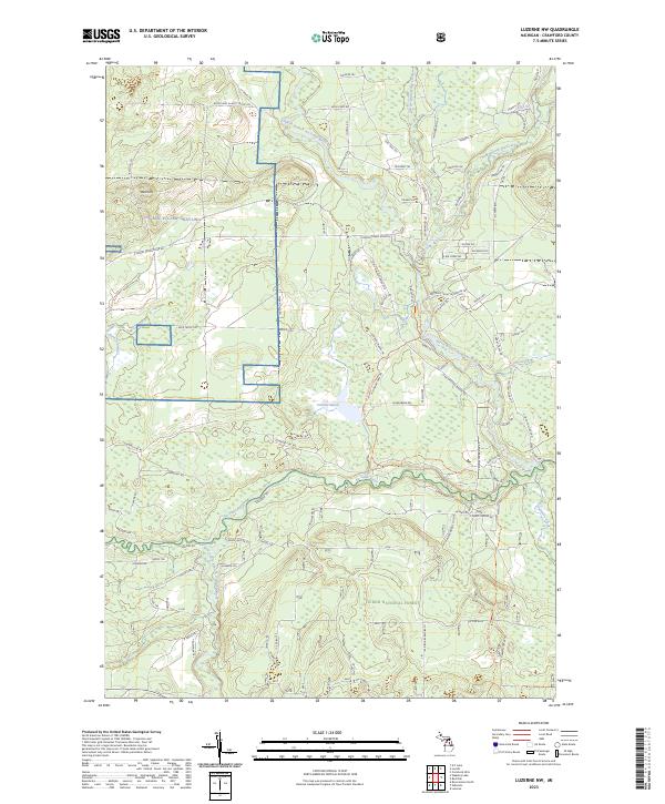
1963 Luzerne NW
Crawford County, MI
1985 Frederic
Crawford County, MI
2011 Big Bradford Lake
Crawford County, MI
2011 Cote Dame Marie
Crawford County, MI
2011 Frederic
Crawford County, MI
2011 K P Lake
Crawford County, MI
2011 Lake Margrethe
Crawford County, MI
2011 Lovells
Crawford County, MI
2011 Pere Cheney
Crawford County, MI
2012 Eldorado
Crawford County, MI
2012 Luzerne NW
Crawford County, MI
2012 Roscommon North
Crawford County, MI
2012 Wakeley Lake
Crawford County, MI
2014 Big Bradford Lake
Crawford County, MI
2014 Cote Dame Marie
Crawford County, MI
2014 Eldorado
Crawford County, MI

2014 Frederic
Crawford County, MI
2014 K P Lake
Crawford County, MI
2014 Lake Margrethe
Crawford County, MI
2014 Lovells
Crawford County, MI
2014 Luzerne NW
Crawford County, MI
2014 Pere Cheney
Crawford County, MI
2014 Roscommon North
Crawford County, MI
2014 Wakeley Lake
Crawford County, MI
2017 Big Bradford Lake
Crawford County, MI
2017 Cote Dame Marie
Crawford County, MI
2017 Eldorado
Crawford County, MI
2017 Frederic
Crawford County, MI
2017 K P Lake
Crawford County, MI
2017 Lake Margrethe
Crawford County, MI
2017 Lovells
Crawford County, MI
2017 Luzerne NW
Crawford County, MI
2017 Pere Cheney
Crawford County, MI
2017 Roscommon North
Crawford County, MI
2017 Wakeley Lake
Crawford County, MI
2019 Big Bradford Lake
Crawford County, MI
2019 Cote Dame Marie
Crawford County, MI
2019 Eldorado
Crawford County, MI
2019 Frederic
Crawford County, MI
2019 K P Lake
Crawford County, MI
2019 Lake Margrethe
Crawford County, MI
2019 Lovells
Crawford County, MI
2019 Luzerne NW
Crawford County, MI
2019 Pere Cheney
Crawford County, MI
2019 Roscommon North
Crawford County, MI
2019 Wakeley Lake
Crawford County, MI
2023 Big Bradford Lake
Crawford County, MI
2023 Cote Dame Marie
Crawford County, MI
2023 Eldorado
Crawford County, MI
2023 Frederic
Crawford County, MI
2023 K P Lake
Crawford County, MI
2023 Lake Margrethe
Crawford County, MI
2023 Lovells
Crawford County, MI
2023 Luzerne NW
Crawford County, MI
2023 Pere Cheney
Crawford County, MI
2023 Roscommon North
Crawford County, MI
2023 Wakeley Lake
Crawford County, MI
Featured Locations
- Beaver Creek Township, MI
- Grayling Charter Township, MI
- Gerrish Township, MI
- Pere Cheney, Beaver Creek Township
- Skyline Village, Beaver Creek Township