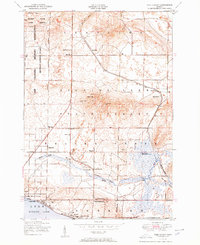
1951 Map of Pere Cheney
USGS Topo · Published 1951About this map
Pere Cheney stands as a focal point in this Crawford County landscape, captured just after mid-century when the New York Central railroad still traversed the region. The map reveals a transition from the agricultural and settlement efforts at Juvigny Valley and the Beaver Creek School to a burgeoning recreational and military footprint. To the west, the Camp Grayling Military Reservation and the Hanson State Game Refuge indicate the significant state and federal presence in these northern woods.
Find a feature on this map
39 named features on this map. Tap any name to fly to it.
Don’t see what you’re looking for? This feature index may not catch every label — zoom into the map to look around manually.
Map Details
Editions of this 1951 Pere Cheney Map
3 editions found
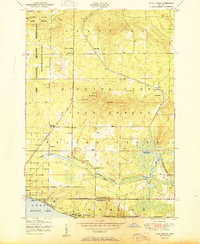
Other maps of this area

1949 · Fletcher
USGS Topo · 1:62,500

1949 · Grayling
USGS Topo · 1:62,500

1950 · Cote Dame Marie
USGS Topo · 1:24,000

1950 · Lake Margrethe
USGS Topo · 1:24,000

1950 · Grayling
USGS Topo · 1:24,000

1950 · Roscommon North
USGS Topo · 1:24,000

1951 · Wakeley Lake
USGS Topo · 1:24,000

1951 · Grayling
USGS Topo · 1:24,000

1951 · Roscommon North
USGS Topo · 1:24,000

1951 · Pere Cheney
USGS Topo · 1:24,000
Featured Places
- Beaver Creek Township, MI
- Gerrish Township, MI
- Grayling Charter Township, MI
- Pere Cheney, MI
- Skyline Village, MI