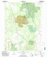
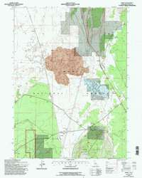
1993 Map of Perez
USGS Topo · Published 1996About this map
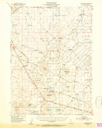
The Battle of the Lake 1873 (Site) marks a significant historical point on this 1993 revision of the Modoc plateau, located just west of Dry Lake. The landscape is defined by vast volcanic features, with prominent areas of Lava and subterranean features such as Mammoth Cave and other unnamed Cave sites. The rail corridor of the Burlington Northern Santa Fe connects the small settlements of Perez and Tionesta, the latter of which features a Compressor Station and an extensive system of Levees. To the south, Timber Mountain rises above the timberlands of the Modoc National Forest, while northern reaches include the Dalton Ranch and active extraction sites like the Cinder Pit. This map reflects an era of combined forest management and industrial transit in a high-desert environment.
Find a feature on this map
23 named features on this map. Tap any name to fly to it.
Don’t see what you’re looking for? This feature index may not catch every label — zoom into the map to look around manually.
Map Details
Editions of this 1993 Perez Map
2 editions found
Other maps of this area

1886 · Modoc Lava Bed
USGS Topo · 1:250,000

1892 · Modoc Lava-Bed
USGS Topo · 1:250,000
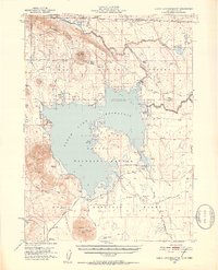
1951 · Clear Lake Reservoir
USGS Topo · 1:62,500

1951 · Tulelake
USGS Topo · 1:62,500
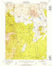
1952 · Timber Mountain
USGS Topo · 1:62,500
1952 · Hackamore
USGS Topo · 1:62,500

1954 · Alturas
USGS Topo · 1:250,000

1958 · Alturas
USGS Topo · 1:250,000

1962 · Alturas
USGS Topo · 1:250,000

1965 · Alturas
USGS Topo · 1:250,000