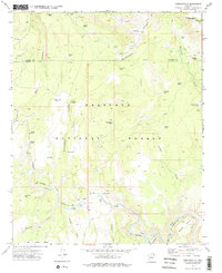
1973 Map of Perkinsville
USGS Topo · Published 1977About this map
Perkinsville serves as the focal point of this 1970s landscape, situated where the A T & S F Railroad tracks follow the winding course of the Verde River. The region is defined by a rugged canyon system and a heavy industrial footprint, with numerous Quarries and a Gravel Pit dotting the terrain, particularly near Government Canyon. This area is part of the Prescott National Forest, stretching across the boundary of Coconino and Yavapai counties.
Find a feature on this map
39 named features on this map. Tap any name to fly to it.
Don’t see what you’re looking for? This feature index may not catch every label — zoom into the map to look around manually.
Map Details
Editions of this 1973 Perkinsville Map
2 editions found
Other maps of this area

1886 · Chino
USGS Topo · 1:250,000

1887 · Prescott
USGS Topo · 1:250,000

1891 · Chino
USGS Topo · 1:250,000

1892 · Prescott
USGS Topo · 1:250,000

1905 · Jerome
USGS Topo · 1:125,000

1922 · Williams
USGS Topo · 1:125,000

1944 · Clarkdale
USGS Topo · 1:48,000

1947 · Ash Fork
USGS Topo · 1:62,500

1947 · Paulden
USGS Topo · 1:62,500

1948 · Ash Fork
USGS Topo · 1:63,360