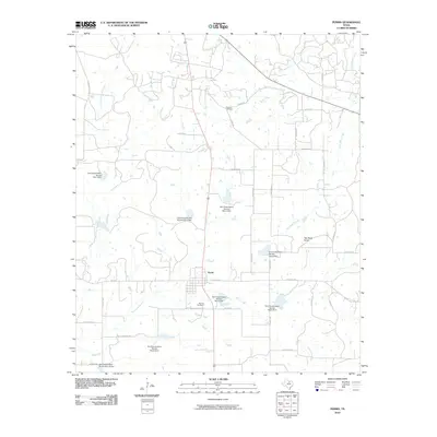
2010 Map of Perrin
USGS Topo · Published 2010About this map
Perrin serves as the central hub of this North Texas landscape, where the local road network converges around a grid of residential and commercial streets. The surrounding territory is defined by a sophisticated water management system, illustrated by numerous numbered dams such as Soil Conservation Service Site 4 Dam and Soil Conservation Service Site 7 Dam. These structures represent a mid-century agricultural strategy to manage the watersheds of East Fork Keechi Creek and Two Bush Branch, protecting the ranching and farming lands from erosion and flooding.
Find a feature on this map
39 named features on this map. Tap any name to fly to it.
Don’t see what you’re looking for? This feature index may not catch every label — zoom into the map to look around manually.
Map Details
Editions of this 2010 Perrin Map
This is the sole edition of this map. No revisions or reprints were ever made.
Other maps of this area

1891 · Weatherford
USGS Topo · 1:125,000

1891 · Palo Pinto
USGS Topo · 1:125,000

1893 · Weatherford
USGS Topo · 1:125,000

1918 · Palo Pinto
USGS Topo · 1:125,000

1924 · Palo Pinto 1-b
USGS Topo · 1:48,000

1927 · Mineral Wells
USGS Topo · 1:62,500

1954 · Dallas
USGS Topo · 1:250,000

1954 · Sherman
USGS Topo · 1:250,000

1954 · Abilene
USGS Topo · 1:250,000

1954 · Wichita Falls
USGS Topo · 1:250,000