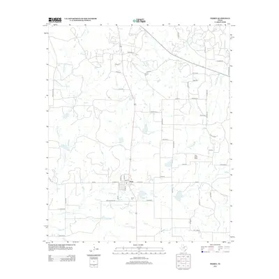
2012 Map of Perrin
USGS Topo · Published 2012About this map
Perrin serves as the central hub of this Jack County landscape, where the local street grid including E Hackley St and S Mark St meets the rural road network. The surrounding territory is defined by a dense system of seasonal drainages, most notably E Fork Keechi Cr to the west and the varied branches of Two Bush Br and Beans Cr to the east. For those tracing local families, both the Perrino Cem south of the town center and Fairview Cem near Erwin Rd are significant markers of the community's heritage. A prominent topographic landmark, Two Bush Knob, rises above the drainage of Two Bush Br, while the infrastructure of the early 21st century is represented by specialized routes like Heliport Rd, Pump Station Rd, and Dps Tower Rd.
Find a feature on this map
47 named features on this map. Tap any name to fly to it.
Don’t see what you’re looking for? This feature index may not catch every label — zoom into the map to look around manually.
Map Details
Editions of this 2012 Perrin Map
This is the sole edition of this map. No revisions or reprints were ever made.
Other maps of this area

1891 · Weatherford
USGS Topo · 1:125,000

1891 · Palo Pinto
USGS Topo · 1:125,000

1893 · Weatherford
USGS Topo · 1:125,000

1918 · Palo Pinto
USGS Topo · 1:125,000

1924 · Palo Pinto 1-b
USGS Topo · 1:48,000

1927 · Mineral Wells
USGS Topo · 1:62,500

1954 · Dallas
USGS Topo · 1:250,000

1954 · Sherman
USGS Topo · 1:250,000

1954 · Abilene
USGS Topo · 1:250,000

1954 · Wichita Falls
USGS Topo · 1:250,000