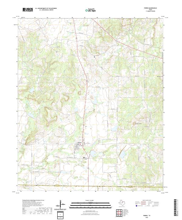
2022 Map of Perrin
USGS Topo · Published 2022About this map
Perrin sits at the intersection of rural ranch roads and the meandering drainage of Two Bush Br, serving as a central hub for the surrounding livestock and agricultural lands of Jack County. This contemporary survey captures the community's layout near the boundary with Palo Pinto and Parker counties, featuring local landmarks such as the Perrin Memorial Garden and the Fairview Cem to the north. The landscape is defined by the gentle elevation of Two Bush Knob and Wampler Hill, while the hydrography is dominated by the E Fork Keechi Cr and Snake Cr. The network of family-named routes like Elenburg Ln, Slusher Rd, and Dutton Rd reflects a long-standing pattern of rural land division and residency that persists into the modern era.
Find a feature on this map
52 named features on this map. Tap any name to fly to it.
Don’t see what you’re looking for? This feature index may not catch every label — zoom into the map to look around manually.
Map Details
Editions of this 2022 Perrin Map
This is the sole edition of this map. No revisions or reprints were ever made.
Other maps of this area

1891 · Weatherford
USGS Topo · 1:125,000

1891 · Palo Pinto
USGS Topo · 1:125,000

1893 · Weatherford
USGS Topo · 1:125,000

1918 · Palo Pinto
USGS Topo · 1:125,000

1924 · Palo Pinto 1-b
USGS Topo · 1:48,000

1927 · Mineral Wells
USGS Topo · 1:62,500

1954 · Dallas
USGS Topo · 1:250,000

1954 · Sherman
USGS Topo · 1:250,000

1954 · Abilene
USGS Topo · 1:250,000

1954 · Wichita Falls
USGS Topo · 1:250,000