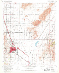
1967 Map of Perris
USGS Topo · Published 1969About this map
March Air Force Base and a vast military reservation dominate the northwestern landscape of this late-1960s survey, marking a period of significant strategic presence in the Perris Valley. The city of Perris serves as the central hub, where the Atchison Topeka and Santa Fe Railroad and its Granite Spur facilitated the movement of local agricultural and industrial goods. The terrain is defined by the San Jacinto Nuevo Hills and the Lakeview Mountains, with the San Jacinto River and the Colorado River Aqueduct providing critical water infrastructure to the arid basin. Notable local landmarks include the Perris Valley Airport and Lakeview Hot Springs, while educational and community life is anchored by sites such as Perris Union High Sch and the Perris Cem. Small clusters like Nuevo and Romoland reflect the distributed rural settlement pattern of the era before more intensive suburban expansion.
Find a feature on this map
53 named features on this map. Tap any name to fly to it.
Don’t see what you’re looking for? This feature index may not catch every label — zoom into the map to look around manually.
Map Details
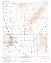
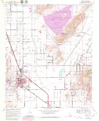
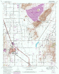
Editions of this 1967 Perris Map
4 editions found
Other maps of this area

1901 · Southern California Sheet No. 1
USGS Topo · 1:250,000

1901 · Elsinore
USGS Topo · 1:125,000

1901 · Riverside
USGS Topo · 1:62,500

1904 · Southern California Sheet No. 1
USGS Topo · 1:250,000

1942 · Lake Elsinore
USGS Topo · 1:62,500

1942 · Murrieta
USGS Topo · 1:62,500

1942 · Riverside
USGS Topo · 1:62,500

1942 · Perris
USGS Topo · 1:62,500

1943 · Perris
USGS Topo · 1:62,500

1943 · Riverside
USGS Topo · 1:62,500