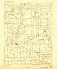
1890 Map of Perry
USGS Topo · Published 1921About this map
Mexico serves as a central hub on this late nineteenth-century landscape, where the Chicago and Alton Railroad and the Wabash Railroad intersect. These rail lines define the development patterns across Audrain and surrounding counties, connecting small agricultural centers like Benton City, Laddonia, and Wellsville. The terrain is deeply etched by the various forks of the Salt River, including the Middle Fork of Salt River near Florida and the South Fork of Salt River winding past Santa Fe. This drainage network influenced early settlement placement, with numerous smaller creeks like Lick Creek and Littleby Creek carving through the prairie. Isolated post offices and rail stops such as Shamrock P.O. and Rush Hill indicate the era's localized communication and trade nodes before more modern consolidation.
Find a feature on this map
74 named features on this map. Tap any name to fly to it.
Don’t see what you’re looking for? This feature index may not catch every label — zoom into the map to look around manually.
Map Details
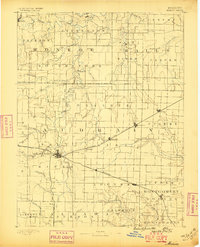
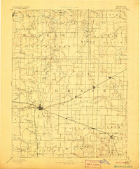
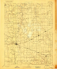
Editions of this 1890 Perry Map
5 editions found
Other maps of this area

1886 · Jefferson City
USGS Topo · 1:125,000

1890 · Louisiana
USGS Topo · 1:125,000

1890 · Mexico
USGS Topo · 1:125,000

1890 · Moberly
USGS Topo · 1:125,000

1890 · Hermann
USGS Topo · 1:125,000

1890 · Fulton
USGS Topo · 1:125,000

1894 · Jefferson City
USGS Topo · 1:125,000

1903 · Palmyra
USGS Topo · 1:125,000

1928 · Fulton
USGS Topo · 1:62,500

1931 · Fulton
USGS Topo · 1:62,500