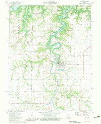
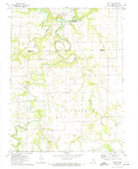
1973 Map of Perry
USGS Topo · Published 1983About this map
The town of Perry serves as the hub of this 1973 survey, situated where the Salt River valley was being transformed by the Clarence Cannon Reservoir. The landscape exhibits a transition from traditional agricultural land to a controlled watershed, with the reservoir waters filling the winding channels of the river and its tributaries like Lick Creek and Pigeon Roost Creek. An Old Railroad Grade cutting across the northeastern quadrant indicates the path of former commerce, while the Gough Landing Strip and a Radio Tower point toward mid-century infrastructure developments.
Find a feature on this map
30 named features on this map. Tap any name to fly to it.
Don’t see what you’re looking for? This feature index may not catch every label — zoom into the map to look around manually.
Map Details
Editions of this 1973 Perry Map
2 editions found
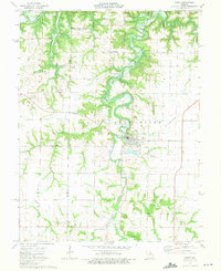
Other maps of this area

1890 · Mexico
USGS Topo · 1:125,000

1903 · Palmyra
USGS Topo · 1:125,000

1945 · Florida
USGS Topo · 1:62,500

1945 · Perry
USGS Topo · 1:62,500

1948 · Quincy
USGS Topo · 1:250,000

1956 · Quincy
USGS Topo · 1:250,000

1959 · Joanna
USGS Topo · 1:24,000
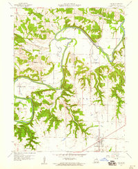
1959 · Center
USGS Topo · 1:24,000
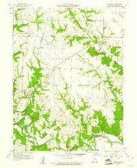
1960 · Stoutsville
USGS Topo · 1:24,000
1972 · Santa Fe
USGS Topo · 1:24,000