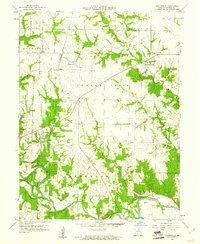
1960 Map of Stoutsville
USGS Topo · Published 1961About this map
Stoutsville sits at the convergence of the North Fork Salt River and the South Fork Salt River, serving as a central hub in Monroe County during the early 1960s. The landscape is defined by the sharp bends of these waterways, which supported a network of river crossings including Kitty Wheel Ford and Leich Ford. The Wabash railroad cuts across the western portion of the terrain, linking the small community of Clapper to the larger regional infrastructure. Local history is anchored by sites such as St Andrews Cem and Crigler Cem, while several named tributaries like Indian Creek and Sandy Creek drain the surrounding agricultural lands. The presence of several bridges and fords along the main river forks highlights a time when local travel was still closely tied to the natural contours of the Salt River valley before modern hydrological changes.
Find a feature on this map
20 named features on this map. Tap any name to fly to it.
Don’t see what you’re looking for? This feature index may not catch every label — zoom into the map to look around manually.
Map Details
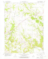
Editions of this 1960 Stoutsville Map
2 editions found
Other maps of this area

1890 · Mexico
USGS Topo · 1:125,000

1903 · Palmyra
USGS Topo · 1:125,000

1945 · Florida
USGS Topo · 1:62,500

1945 · Perry
USGS Topo · 1:62,500

1948 · Quincy
USGS Topo · 1:250,000

1956 · Quincy
USGS Topo · 1:250,000

1959 · Monroe City
USGS Topo · 1:24,000

1959 · Lakenan
USGS Topo · 1:24,000

1959 · Joanna
USGS Topo · 1:24,000

1959 · Hunnewell
USGS Topo · 1:24,000