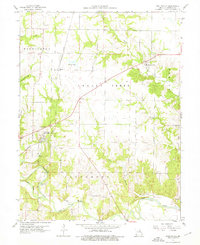
1960 Map of Stoutsville
USGS Topo · Published 1976About this map
Stoutsville sits as a central hub along the Wabash railroad line, serving as a primary settlement in this Monroe County landscape before modern reservoir projects altered the local topography. The map illustrates a rural economy deeply tied to the natural drainage of the North Fork Salt River and the Salt River, where river crossings like Kitty Wheelin Ford and Leich Ford provided essential transit points between townships.
Find a feature on this map
23 named features on this map. Tap any name to fly to it.
Don’t see what you’re looking for? This feature index may not catch every label — zoom into the map to look around manually.
Map Details
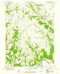
Editions of this 1960 Stoutsville Map
2 editions found
Other maps of this area

1890 · Mexico
USGS Topo · 1:125,000

1903 · Palmyra
USGS Topo · 1:125,000

1945 · Florida
USGS Topo · 1:62,500

1945 · Perry
USGS Topo · 1:62,500

1948 · Quincy
USGS Topo · 1:250,000

1956 · Quincy
USGS Topo · 1:250,000

1959 · Monroe City
USGS Topo · 1:24,000

1959 · Lakenan
USGS Topo · 1:24,000

1959 · Joanna
USGS Topo · 1:24,000

1959 · Hunnewell
USGS Topo · 1:24,000