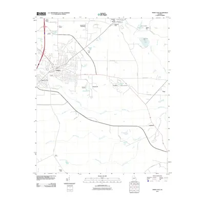
2011 Map of Perry East
USGS Topo · Published 2011About this map
Perry serves as the focal point of this Central Georgia landscape, where suburban expansion meets the region's agricultural and industrial roots. The town’s eastward growth is evident in developments like Laurel Crest Subdivision and Lea Glen, while the town center remains anchored by the Perry Post Office and the historic Evergreen Cemetery. To the southeast, the industrial presence of Clinchfield stands near the confluence of Big Indian Creek and Limestone Creek, reflecting the area's long-standing reliance on local mineral resources.
Find a feature on this map
61 named features on this map. Tap any name to fly to it.
Don’t see what you’re looking for? This feature index may not catch every label — zoom into the map to look around manually.
Map Details
Editions of this 2011 Perry East Map
This is the sole edition of this map. No revisions or reprints were ever made.
Other maps of this area

1956 · Fort Valley
USGS Topo · 1:62,500

1956 · Perry
USGS Topo · 1:62,500

1956 · Warner Robins
USGS Topo · 1:62,500

1957 · Macon
USGS Topo · 1:250,000

1958 · Macon
USGS Topo · 1:250,000

1964 · Macon
USGS Topo · 1:250,000

1971 · Henderson
USGS Topo · 1:24,000

1972 · Perry West
USGS Topo · 1:24,000

1973 · Hayneville
USGS Topo · 1:24,000

1973 · Klondike
USGS Topo · 1:24,000