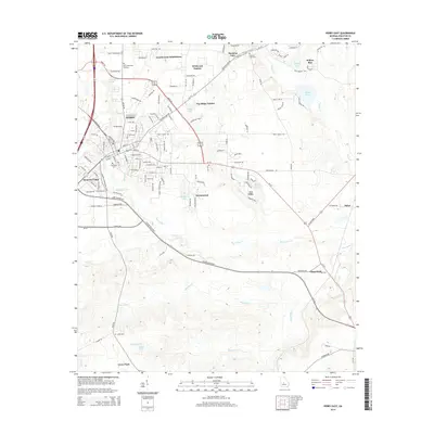
2014 Map of Perry East
USGS Topo · Published 2014About this map
Perry stands as the primary hub of this Middle Georgia landscape, showing significant residential and industrial development along the Highway 341 and Interstate 75 corridors. Modern subdivisions such as Laurel Crest Subdivision, Wildwood Estates, and Fox Ridge Estates wrap around the city center, illustrating the northward and eastward expansion of the community. To the south and east, the landscape transitions into a network of vital waterways and industrial sites, including Big Indian Creek and Okeetuck Creek. The presence of the Pabst industrial site and the community of Clinchfield near Limestone Creek reflects the region's manufacturing and resource-based economic ties. Genealogists will find interest in several documented burial sites, including Evergreen Cem, Ladies Cem, and Houston Lake Cem.
Find a feature on this map
128 named features on this map. Tap any name to fly to it.
Don’t see what you’re looking for? This feature index may not catch every label — zoom into the map to look around manually.
Map Details
Editions of this 2014 Perry East Map
This is the sole edition of this map. No revisions or reprints were ever made.
Other maps of this area

1956 · Fort Valley
USGS Topo · 1:62,500

1956 · Perry
USGS Topo · 1:62,500

1956 · Warner Robins
USGS Topo · 1:62,500

1957 · Macon
USGS Topo · 1:250,000

1958 · Macon
USGS Topo · 1:250,000

1964 · Macon
USGS Topo · 1:250,000

1971 · Henderson
USGS Topo · 1:24,000

1972 · Perry West
USGS Topo · 1:24,000

1973 · Hayneville
USGS Topo · 1:24,000

1973 · Klondike
USGS Topo · 1:24,000