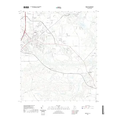
2020 Map of Perry East
USGS Topo · Published 2020About this map
Perry serves as the focal point of this Houston County landscape, where the Houston County Courthouse marks the civic center of a rapidly evolving Georgia community. The terrain transitions from the developed streets of the city toward more rural pockets like Clinchfield and Pabst to the east. Water defines the local geography, with Big Indian Creek and Limestone Creek carving paths through the countryside, while numerous named bodies of water like Houston Lake and Mossy Lake suggest a landscape shaped by both natural drainage and land management. Genealogists will find significant value in the documentation of local burial sites, including Evergreen Cemetery, the Houston Lake Baptist Church Cemetery, and the uniquely named Ladies Cemetery. The map also captures the modern transportation network, showing how the Perry Parkway and various country roads connect these historic settlements and family-named landmarks.
Find a feature on this map
138 named features on this map. Tap any name to fly to it.
Don’t see what you’re looking for? This feature index may not catch every label — zoom into the map to look around manually.
Map Details
Editions of this 2020 Perry East Map
This is the sole edition of this map. No revisions or reprints were ever made.
Other maps of this area

1956 · Fort Valley
USGS Topo · 1:62,500

1956 · Perry
USGS Topo · 1:62,500

1956 · Warner Robins
USGS Topo · 1:62,500

1957 · Macon
USGS Topo · 1:250,000

1958 · Macon
USGS Topo · 1:250,000

1964 · Macon
USGS Topo · 1:250,000

1971 · Henderson
USGS Topo · 1:24,000

1972 · Perry West
USGS Topo · 1:24,000

1973 · Hayneville
USGS Topo · 1:24,000

1973 · Klondike
USGS Topo · 1:24,000