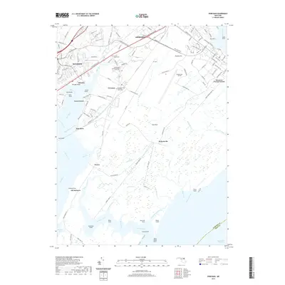
2019 Map of Perryman
USGS Topo · Published 2019About this map
Aberdeen and the expansive military installation at Aberdeen Proving Ground dominate this coastal landscape at the edge of the Chesapeake. The map details a complex transition from suburban development in Riverside and Belcamp to the restricted marshes and testing ranges of the army base. Significant local heritage is preserved in the grounds of Saint Georges Spesutia Episcopal Church Cem and Cranberry United Methodist Church Cem, which sit near the village of Perryman.
Find a feature on this map
138 named features on this map. Tap any name to fly to it.
Don’t see what you’re looking for? This feature index may not catch every label — zoom into the map to look around manually.
Map Details
Editions of this 2019 Perryman Map
This is the sole edition of this map. No revisions or reprints were ever made.
Other maps of this area

1893 · Gunpowder
USGS Topo · 1:62,500

1898 · Tolchester
USGS Topo · 1:125,000

1900 · Havre De Grace
USGS Topo · 1:62,500

1900 · Betterton
USGS Topo · 1:62,500

1901 · Belair
USGS Topo · 1:62,500

1901 · Gunpowder
USGS Topo · 1:62,500

1903 · Tolchester
USGS Topo · 1:125,000

1908 · Tolchester
USGS Topo · 1:125,000

1941 · Gunpowder
USGS Topo · 1:62,500

1942 · Havre De Grace
USGS Topo · 1:62,500