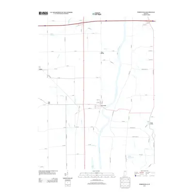
2013 Map of Perrysville
USGS Topo · Published 2013About this map
The Wabash River carves a deep valley through the center of this landscape, defining the character of the settlement at Perrysville. This riverfront community, established along the western bank, serves as the primary hub for a region defined by agricultural parcels and a network of named county roads. To the east, the terrain is shaped by the winding Coal Creek, while the western uplands are home to small rural clusters such as Gessie and Flat Iron.
Find a feature on this map
77 named features on this map. Tap any name to fly to it.
Don’t see what you’re looking for? This feature index may not catch every label — zoom into the map to look around manually.
Map Details
Editions of this 2013 Perrysville Map
This is the sole edition of this map. No revisions or reprints were ever made.
Other maps of this area

1899 · Danville
USGS Topo · 1:62,500

1900 · Danville
USGS Topo · 1:62,500

1947 · Ridge Farm
USGS Topo · 1:62,500

1950 · Danville SE
USGS Topo · 1:24,000

1950 · Danville NE
USGS Topo · 1:24,000

1951 · Danville NE
USGS Topo · 1:24,000

1951 · Danville SE
USGS Topo · 1:24,000

1953 · Danville
USGS Topo · 1:250,000

1953 · Indianapolis
USGS Topo · 1:250,000

1955 · Danville
USGS Topo · 1:250,000