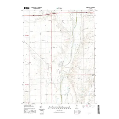
2016 Map of Perrysville
USGS Topo · Published 2016About this map
The Wabash River meanders through the heart of this landscape, serving as a natural boundary between Vermillion County and Fountain County. The settlement of Perrysville sits on the western bank, where W Main St and W State Rd 32 converge near the water. Away from the river, the terrain is defined by several creek systems, including Spring Creek and Jordan Creek, which drain the agricultural land surrounding small communities like Gessie and Flat Iron.
Find a feature on this map
56 named features on this map. Tap any name to fly to it.
Don’t see what you’re looking for? This feature index may not catch every label — zoom into the map to look around manually.
Map Details
Editions of this 2016 Perrysville Map
This is the sole edition of this map. No revisions or reprints were ever made.
Other maps of this area

1899 · Danville
USGS Topo · 1:62,500

1900 · Danville
USGS Topo · 1:62,500

1947 · Ridge Farm
USGS Topo · 1:62,500

1950 · Danville SE
USGS Topo · 1:24,000

1950 · Danville NE
USGS Topo · 1:24,000

1951 · Danville NE
USGS Topo · 1:24,000

1951 · Danville SE
USGS Topo · 1:24,000

1953 · Danville
USGS Topo · 1:250,000

1953 · Indianapolis
USGS Topo · 1:250,000

1955 · Danville
USGS Topo · 1:250,000