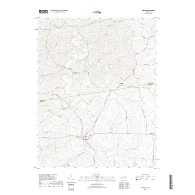
2019 Map of Perryville
USGS Topo · Published 2019About this map
Perryville sits at the heart of this landscape, where the Chaplin River meets Doctors Fork in a region defined by its numerous small burial grounds and rural crossroads. The area around Dixville and Nevada reveals a settlement pattern tied to the winding river system and early transit routes like Harrodsburg RD. Notable for genealogists and military historians, the map identifies several distinct memorial sites, including the Perryville National Cem and smaller local plots such as the Patterson Family Cem and Carpenter Cem.
Find a feature on this map
79 named features on this map. Tap any name to fly to it.
Don’t see what you’re looking for? This feature index may not catch every label — zoom into the map to look around manually.
Map Details
Editions of this 2019 Perryville Map
This is the sole edition of this map. No revisions or reprints were ever made.
Other maps of this area

1905 · Harrodsburg
USGS Topo · 1:125,000

1952 · Perryville
USGS Topo · 1:24,000

1952 · Danville
USGS Topo · 1:24,000

1952 · Harrodsburg
USGS Topo · 1:24,000

1952 · Cornishville
USGS Topo · 1:24,000

1952 · Junction City
USGS Topo · 1:24,000

1952 · Parksville
USGS Topo · 1:24,000

1953 · Mackville
USGS Topo · 1:24,000

1953 · Gravel Switch
USGS Topo · 1:24,000

1953 · Cardwell
USGS Topo · 1:24,000